Golders Green Jewish Cemetery, London
Map
Gallery
Facts and practical information
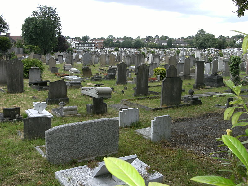
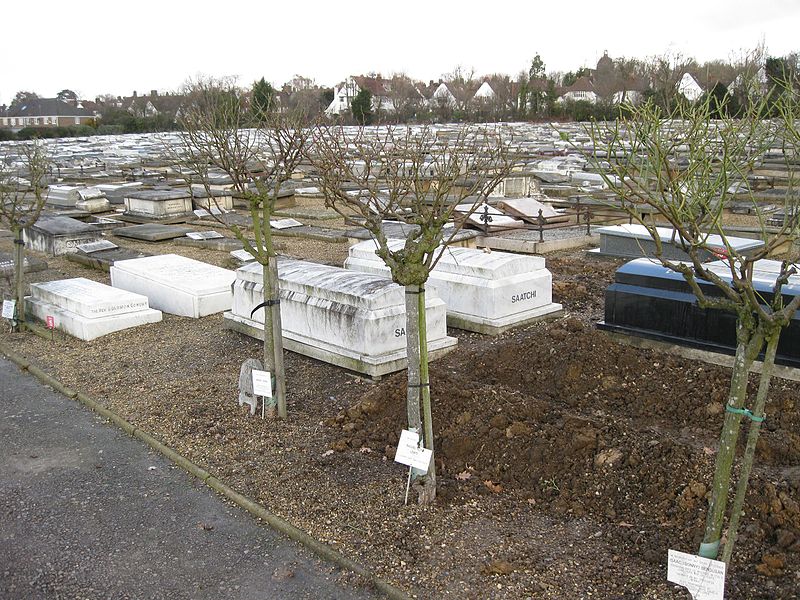
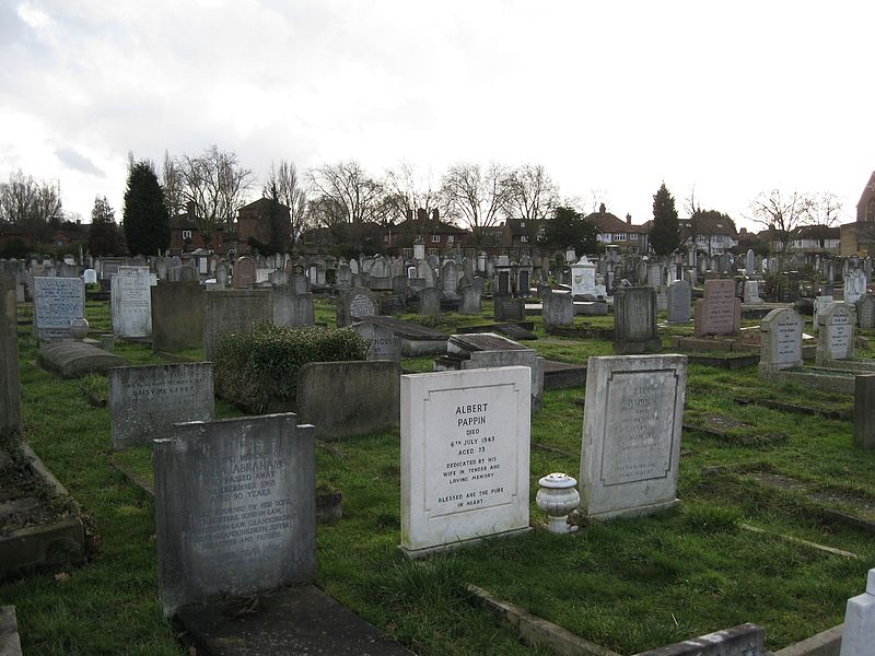
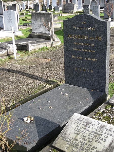
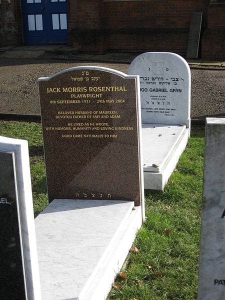
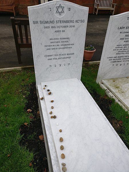
Golders Green Jewish Cemetery, usually known as Hoop Lane Jewish Cemetery, is a Jewish cemetery in Golders Green, London NW11. It is maintained by a joint burial committee representing members of the West London Synagogue and the S&P Sephardi Community. ()
Coordinates: 51°34'38"N, 0°11'37"W
Day trips
Golders Green Jewish Cemetery – popular in the area (distance from the attraction)
Nearby attractions include: Hampstead Heath, Hampstead Heath Woods, Brent Cross Shopping Centre, Spaniards Inn.
Frequently Asked Questions (FAQ)
Which popular attractions are close to Golders Green Jewish Cemetery?
Nearby attractions include Golders Green Crematorium, London (1 min walk), Free Church, London (8 min walk), Golders Green, London (10 min walk), Golders Green Hippodrome, London (11 min walk).
How to get to Golders Green Jewish Cemetery by public transport?
The nearest stations to Golders Green Jewish Cemetery:
Bus
Metro
Bus
- Hail & Ride Golders Green Crematorium • Lines: 631, H2, H3 (1 min walk)
- Hail & Ride Linnell Drive • Lines: H3 (4 min walk)
Metro
- Golders Green • Lines: Northern (9 min walk)



 Tube
Tube