Golders Green Hippodrome, London
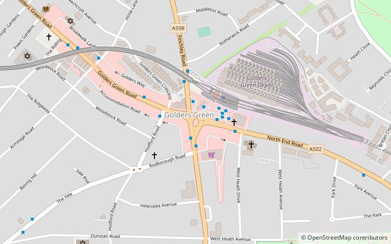
Map
Gallery
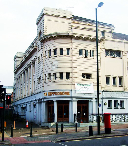
Facts and practical information
The Golders Green Hippodrome was built in 1913 by Bertie Crewe as a 3,000-seat music hall, to serve North London and the new London Underground Northern line expansion into Golders Green in the London Borough of Barnet, London, England. ()
Coordinates: 51°34'18"N, 0°11'43"W
Address
North End RoadBarnet (Golders Green)London
ContactAdd
Social media
Add
Day trips
Golders Green Hippodrome – popular in the area (distance from the attraction)
Nearby attractions include: Hampstead Heath, Brent Cross Shopping Centre, Golders Green Jewish Cemetery, Burgh House.
Frequently Asked Questions (FAQ)
Which popular attractions are close to Golders Green Hippodrome?
Nearby attractions include Golders Green War Memorial, London (1 min walk), Golders Green, London (1 min walk), Golders Green Crematorium, London (10 min walk), Golders Green Jewish Cemetery, London (11 min walk).
How to get to Golders Green Hippodrome by public transport?
The nearest stations to Golders Green Hippodrome:
Bus
Metro
Train
Bus
- Golders Green Station • Lines: 139, 400, 422, A6 (2 min walk)
- Golders Green / Finchley Road • Lines: 102, 13, 139, 245, 260, 328, 460 (1 min walk)
Metro
- Golders Green • Lines: Northern (2 min walk)
- Hampstead • Lines: Northern (33 min walk)
Train
- Cricklewood (30 min walk)

 Tube
Tube