Fordham Park, London
Map
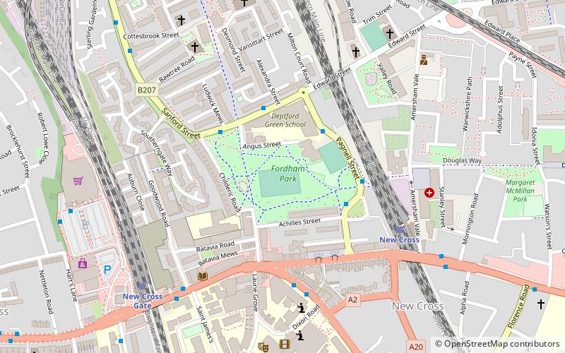
Map

Facts and practical information
Fordham Park is a public park in New Cross, London, England, owned and managed by the London Borough of Lewisham. It lies in between New Cross and New Cross Gate railway stations, and just north of the A2 road between London and Dover. It is immediately south to Deptford Green School, and is often used by students as a sports area. ()
Elevation: 23 ft a.s.l.Coordinates: 51°28'39"N, 0°2'10"W
Address
Lewisham (New Cross)London
ContactAdd
Social media
Add
Day trips
Fordham Park – popular in the area (distance from the attraction)
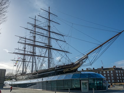
Nearby attractions include: Cutty Sark, Lewisham Shopping Centre, The Den, Nunhead Cemetery.
Frequently Asked Questions (FAQ)
Which popular attractions are close to Fordham Park?
Nearby attractions include The Albany, London (10 min walk), Deptford Market, London (11 min walk), Folkestone Gardens, London (12 min walk), Deptford Park, London (17 min walk).
How to get to Fordham Park by public transport?
The nearest stations to Fordham Park:
Bus
Train
Light rail
Ferry
Bus
- Fordham Park • Lines: 225 (3 min walk)
- Edward Street • Lines: 225 (3 min walk)
Train
- New Cross (5 min walk)
- New Cross Gate (6 min walk)
Light rail
- Deptford Bridge Platform 2 • Lines: B-L, S-L (16 min walk)
- Greenwich Platform 3 • Lines: B-L, S-L (23 min walk)
Ferry
- Masthouse Terrace Pier • Lines: Rb1 (24 min walk)
- Greenwich Pier • Lines: Blue Tour, Rb1, Rb1X, Red Tour (32 min walk)

 Tube
Tube