East Brighton Park, Brighton
Map

Gallery

Facts and practical information
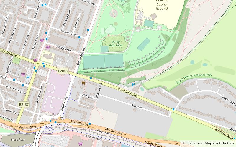
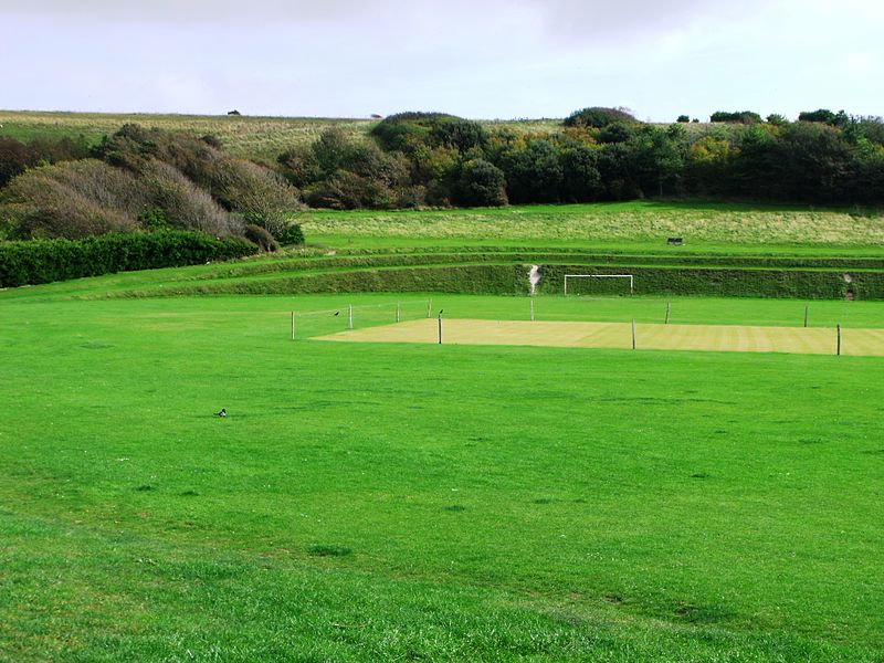
East Brighton Park is located on the eastern edge of the city of Brighton and Hove, England. Bounded by Wilson Avenue and East Brighton golf course, the park extends into Sheepcote Valley and covers around 60 acres. Within the park, there are pitches for football and cricket, tennis courts, a café and a children's playground, beyond it is the South Downs National Park. It was created in 1925. ()
Elevation: 131 ft a.s.l.Coordinates: 50°49'1"N, 0°6'3"W
Address
East Brighton (East Brighton Park)Brighton
ContactAdd
Social media
Add
Day trips
East Brighton Park – popular in the area (distance from the attraction)
Nearby attractions include: Whitehawk Camp, Queen's Park, St Margaret's Church, St John the Baptist's Church.
Frequently Asked Questions (FAQ)
Which popular attractions are close to East Brighton Park?
Nearby attractions include St Mark's Church, Brighton (13 min walk), Roedean School, Brighton (19 min walk), Sassoon Mausoleum, Brighton (21 min walk), St George's Church, Brighton (21 min walk).
How to get to East Brighton Park by public transport?
The nearest stations to East Brighton Park:
Bus
Train
Bus
- Fire Station • Lines: 14B (3 min walk)
- Marlow Road • Lines: 21A, 21E (5 min walk)
Train
- Black Rock (13 min walk)
- Halfway Station (23 min walk)


