High Down, Isle of Wight, Freshwater
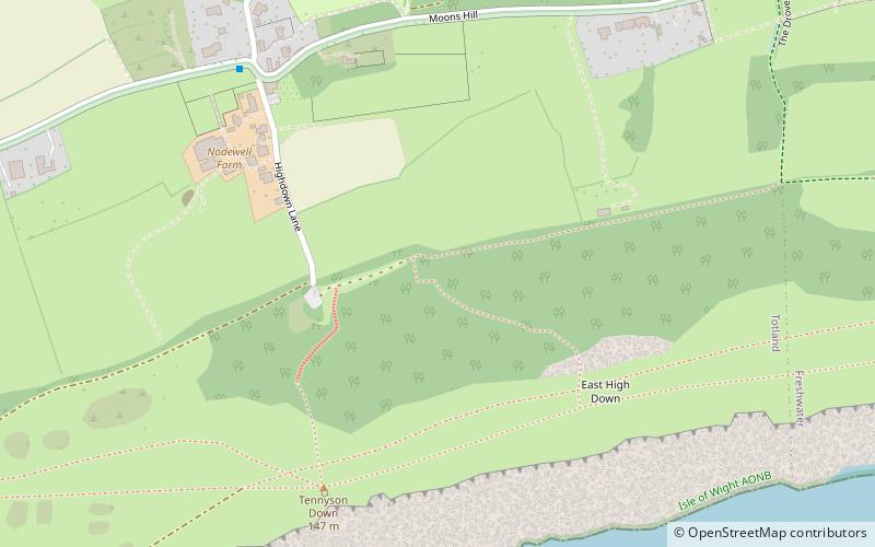
Map

Map

Facts and practical information
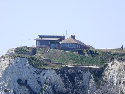
High Down is a chalk down making up the western extent of the ridge that crosses the Isle of Wight, England, and overlooking The Needles rock stacks. It includes Tennyson Down. ()
Coordinates: 50°40'10"N, 1°32'22"W
Address
Freshwater
ContactAdd
Social media
Add
Day trips
High Down, Isle of Wight – popular in the area (distance from the attraction)
Nearby attractions include: West Wight Sports Centre, Tennyson Down, Farringford Estate 2017, Freshwater Redoubt.
Frequently Asked Questions (FAQ)
Which popular attractions are close to High Down, Isle of Wight?
Nearby attractions include Tennyson Down, Freshwater (6 min walk), Christ Church, Isle of Wight (14 min walk).
How to get to High Down, Isle of Wight by public transport?
The nearest stations to High Down, Isle of Wight:
Bus
Bus
- Headon Rise • Lines: 12, 7 via Shalfleet, 7 via Wellow (13 min walk)
- Church Hill • Lines: 12, 7 via Shalfleet, 7 via Wellow (15 min walk)


