Wilson Street, Glasgow
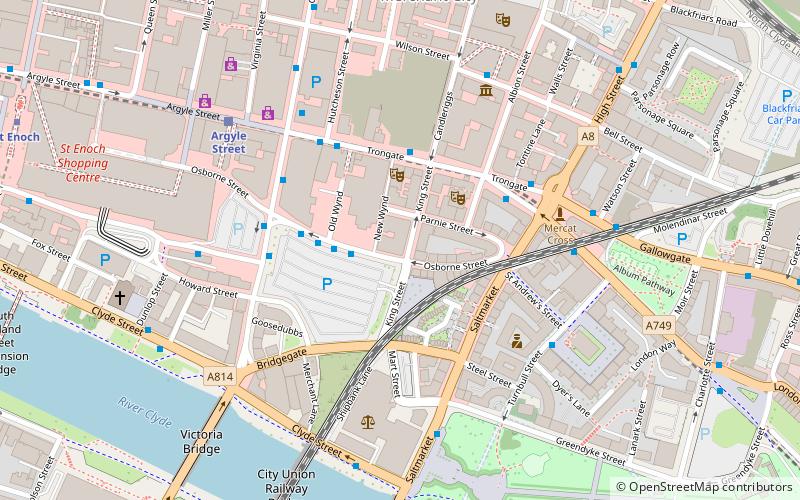
Map
Facts and practical information
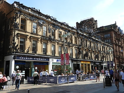
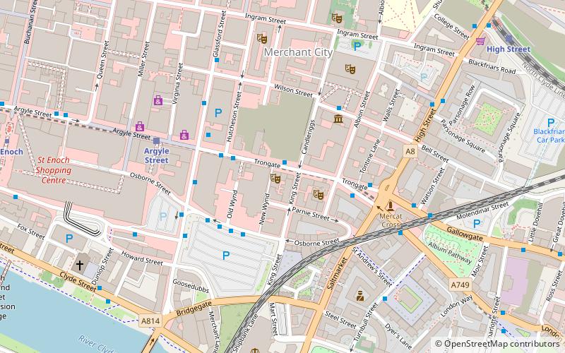
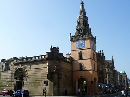
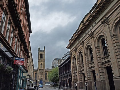
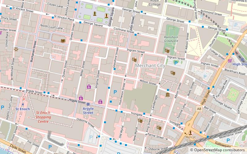
Wilson Street is a thoroughfare in Glasgow, the largest city in Scotland. The street runs east from Virginia Street through the Merchant City until it meets Candleriggs. ()
Coordinates: 55°51'31"N, 4°14'53"W
Address
City Centre (Merchant City)Glasgow
ContactAdd
Social media
Add
Day trips
Wilson Street – popular in the area (distance from the attraction)
Nearby attractions include: Gallery of Modern Art, St. Enoch Centre, The 13th Note, Princes Square.
Frequently Asked Questions (FAQ)
Which popular attractions are close to Wilson Street?
Nearby attractions include Glassford Street, Glasgow (1 min walk), Merchant City, Glasgow (2 min walk), Hutchesons' Hall, Glasgow (3 min walk), Candleriggs, Glasgow (3 min walk).
How to get to Wilson Street by public transport?
The nearest stations to Wilson Street:
Bus
Train
Metro
Bus
- Glassford Street / Garth Street • Lines: 2 (1 min walk)
- Trongate / New Wynd • Lines: 2 (3 min walk)
Train
- Argyle Street (4 min walk)
- Glasgow Queen Street Low Level (8 min walk)
Metro
- St Enoch • Lines: Subway (8 min walk)
- Buchanan Street • Lines: Subway (9 min walk)

