District of Neath, Neath

Map
Facts and practical information
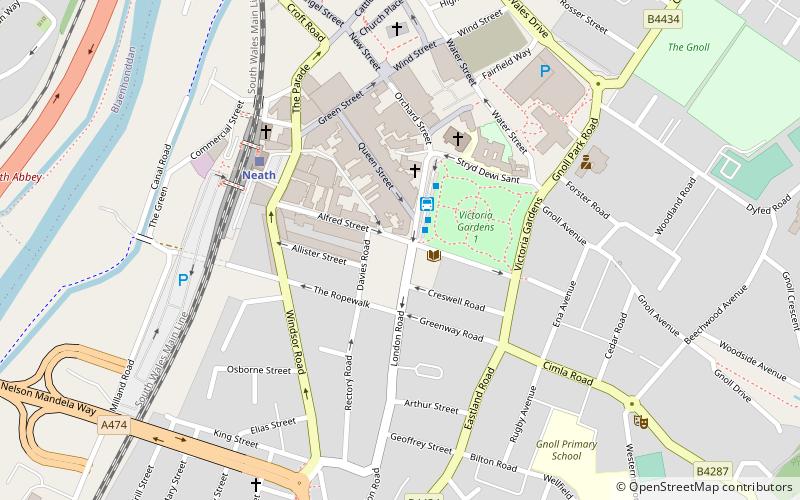
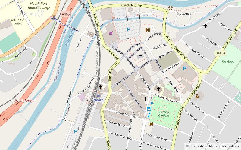
Neath was one of the four local government districts of West Glamorgan, Wales from 1974 to 1996. It was formed from the municipal borough of Neath, along with all of Neath Rural District apart from Rhigos parish, which went to Cynon Valley district. ()
Coordinates: 51°39'40"N, 3°48'14"W
Address
Neath
ContactAdd
Social media
Add
Day trips
District of Neath – popular in the area (distance from the attraction)
Nearby attractions include: Neath Abbey, Aberdulais Golf Range & Academy, Neath Town Hall, Neath Castle.
Frequently Asked Questions (FAQ)
Which popular attractions are close to District of Neath?
Nearby attractions include Victoria Gardens, Neath (1 min walk), Gwyn Hall, Neath (4 min walk), Neath Indoor Market, Neath (5 min walk), Neath Town Hall, Neath (6 min walk).
How to get to District of Neath by public transport?
The nearest stations to District of Neath:
Bus
Train
Bus
- Neath Bus Station (2 min walk)
Train
- Neath (4 min walk)


