Nidum, Neath
Map

Map

Facts and practical information
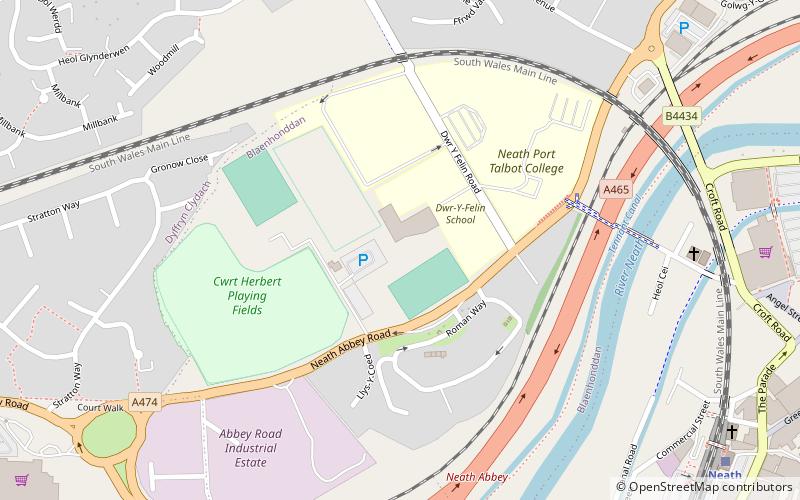
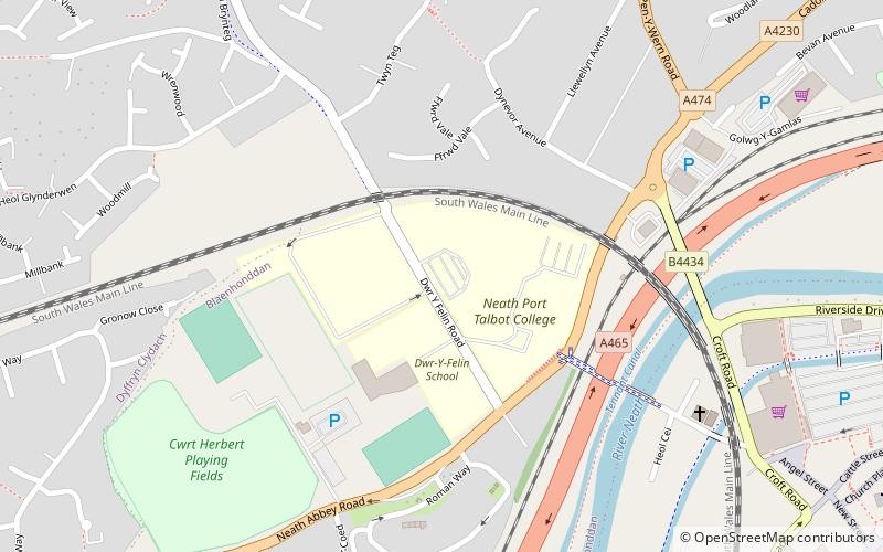
Nidum is a Roman fort found in Cwrt Herbert near the town of Neath, in Wales. An Auxiliary fort first built in around 74AD from earth banks and wooden structures, it underwent a reduction in size from 3.3 to 2.3 hectares soon afterwards. It may have been garrisoned by perhaps 500 Auxiliary troops. It was abandoned in around 125AD, but re-occupied around 140AD when it was rebuilt in stone. However it was only occupied until 170AD, with 100 years of disuse before a final period in use from AD 275 and 320. ()
Coordinates: 51°39'54"N, 3°48'50"W
Address
Neath
ContactAdd
Social media
Add
Day trips
Nidum – popular in the area (distance from the attraction)
Nearby attractions include: Neath Abbey, Neath Town Hall, Neath Castle, Neath Indoor Market.
Frequently Asked Questions (FAQ)
Which popular attractions are close to Nidum?
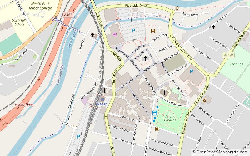
Nearby attractions include Neath Port Talbot College, Neath (4 min walk), Neath Indoor Market, Neath (10 min walk), Neath Town Hall, Neath (11 min walk), Neath Castle, Neath (12 min walk).
How to get to Nidum by public transport?
The nearest stations to Nidum:
Train
Bus
Train
- Neath (10 min walk)
Bus
- Neath Bus Station (14 min walk)


