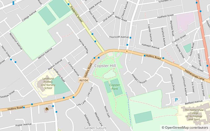
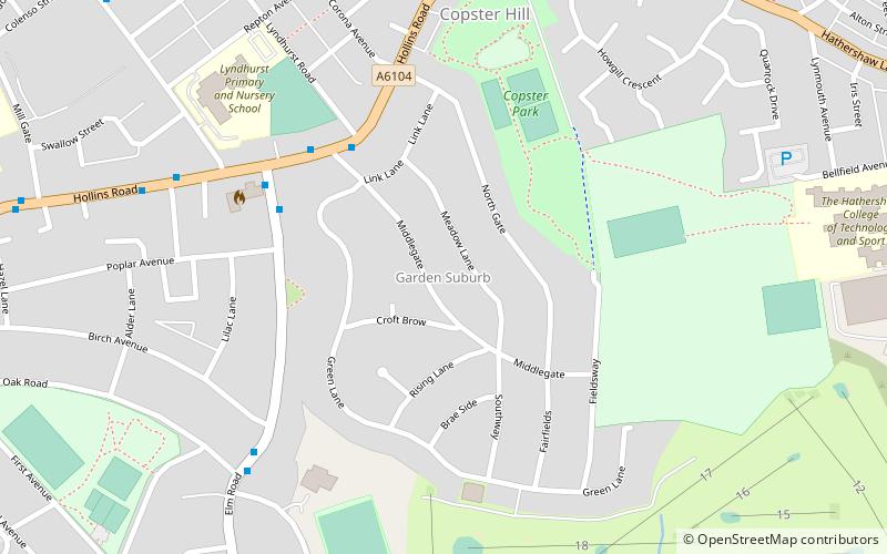
Copster Hill, Oldham
Map
Facts and practical information
Copster Hill is a locality in the town of Oldham in Greater Manchester, lying 1.6 miles to the south of Oldham town centre. ()
Coordinates: 53°31'29"N, 2°7'9"W
Address
Oldham (Medlock Vale)Oldham
ContactAdd
Social media
Add
Getting there by public transportation
Public transportation stops near this location
- Tram
 Tram
Tram
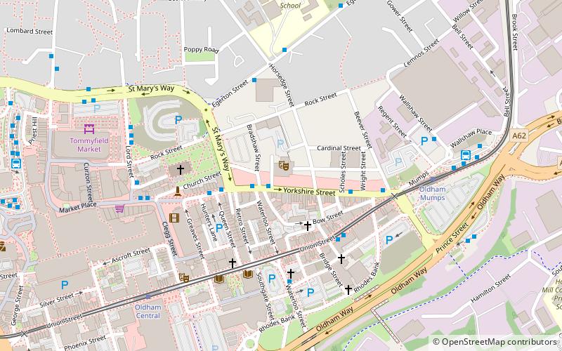
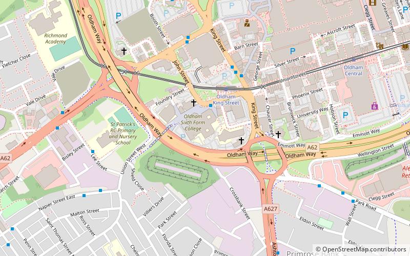
- Calculate routeOldham King Street 27 min walk
- Calculate routeSouth Chadderton 28 min walk
- Calculate routeOldham Central 29 min walk
- Calculate routeFreehold 31 min walk
Day trips


Frequently Asked Questions (FAQ)
Which popular attractions are close to Copster Hill?
Nearby attractions include Garden Suburb, Oldham (6 min walk), Shri Swaminarayan Mandir, Oldham (15 min walk), Alexandra Park, Oldham (22 min walk), Werneth, Oldham (23 min walk).
How to get to Copster Hill by public transport?
The nearest stations to Copster Hill:
Tram
Tram
- Oldham King Street • Lines: EDid, Roch, Shaw (27 min walk)
- South Chadderton • Lines: EDid, Roch, Shaw (28 min walk)