Pollokshaws, Glasgow
Map
Gallery
Facts and practical information
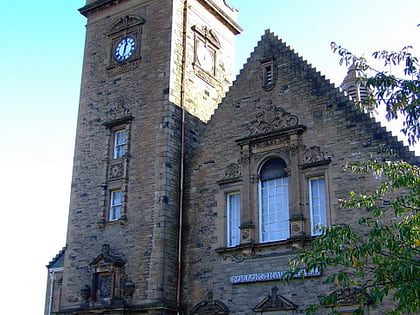
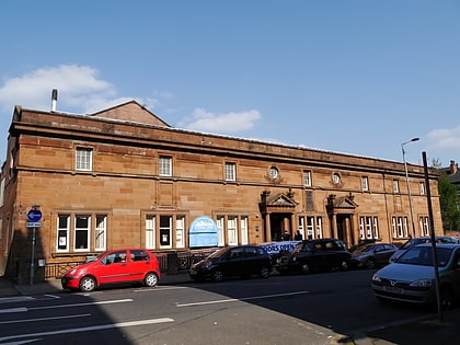
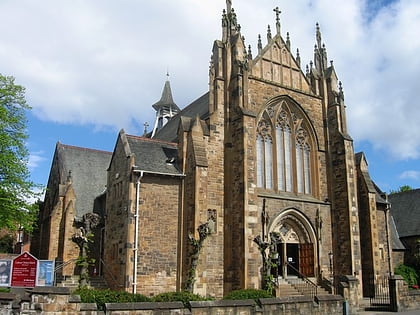
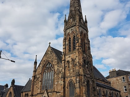
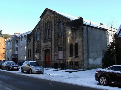
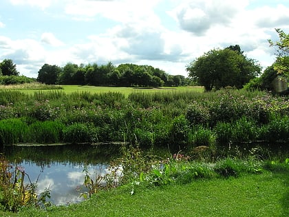
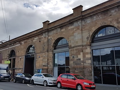
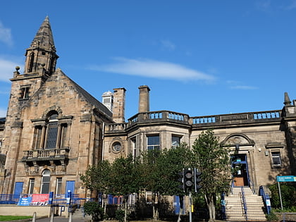
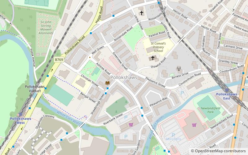
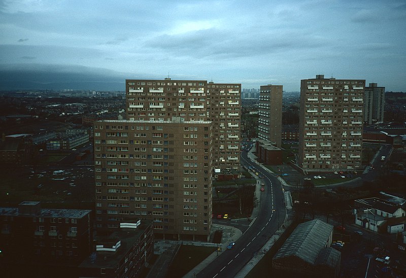
Pollokshaws is an area on the South side of the city of Glasgow, Scotland. It is bordered by the residential neighbourhoods of Auldhouse to the east, Eastwood and Hillpark to the south and Shawlands to the north, with the Glasgow South Western Line railway and the open lands of Pollok Country Park to the west. The White Cart Water flows through the area. ()
Coordinates: 55°49'31"N, 4°17'39"W
Address
South Side (Pollokshaws)Glasgow
ContactAdd
Social media
Add
Day trips
Pollokshaws – popular in the area (distance from the attraction)
Nearby attractions include: Burrell Collection, Pollok House, Govanhill Baths, Camphill Queen's Park Baptist Church.
Frequently Asked Questions (FAQ)
Which popular attractions are close to Pollokshaws?
Nearby attractions include Shawlands, Glasgow (11 min walk), Auldhouse, Glasgow (12 min walk), Burrell Collection, Glasgow (16 min walk), St Margaret's, Glasgow (17 min walk).
How to get to Pollokshaws by public transport?
The nearest stations to Pollokshaws:
Bus
Train
Bus
- Shawbridge Street / Christian Street • Lines: 3 (2 min walk)
- Riverford Road/ Riverbank Street • Lines: 3 (3 min walk)
Train
- Pollokshaws East (8 min walk)
- Shawlands (8 min walk)
