Centenary Quay, Southampton
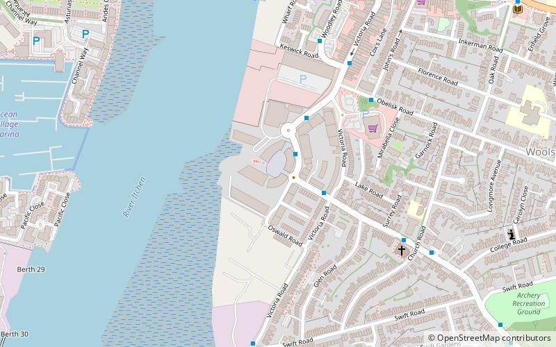
Map
Facts and practical information
Centenary Quay is a new development which has commenced in the suburb of Woolston in Southampton, England. The development is being built on the site of 31 acres, which had been home to Vosper Thorneycroft shipbuilders because of its ideal placement on the eastern bank of the River Itchen. ()
Coordinates: 50°53'40"N, 1°22'56"W
Address
Southampton Itchen (Woolston)Southampton
ContactAdd
Social media
Add
Day trips
Centenary Quay – popular in the area (distance from the attraction)
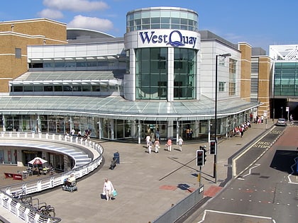
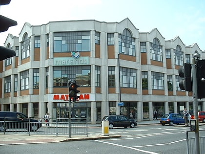
Nearby attractions include: Westquay, Ocean Village, The Marlands, St Mary's Stadium.
Frequently Asked Questions (FAQ)
Which popular attractions are close to Centenary Quay?
Nearby attractions include Woolston, Southampton (7 min walk), Itchen Bridge, Southampton (9 min walk), Ocean Village, Southampton (9 min walk), Solent Sky, Southampton (14 min walk).
How to get to Centenary Quay by public transport?
The nearest stations to Centenary Quay:
Train
Bus
Ferry
Train
- Woolston (11 min walk)
- Sholing (21 min walk)
Bus
- Town Quay • Lines: Qc (25 min walk)
- Telephone House • Lines: Qc (25 min walk)
Ferry
- Red Jet (26 min walk)
