Mallerstang, Yorkshire Dales National Park

Gallery (3)
Map
Map
Gallery
Facts and practical information
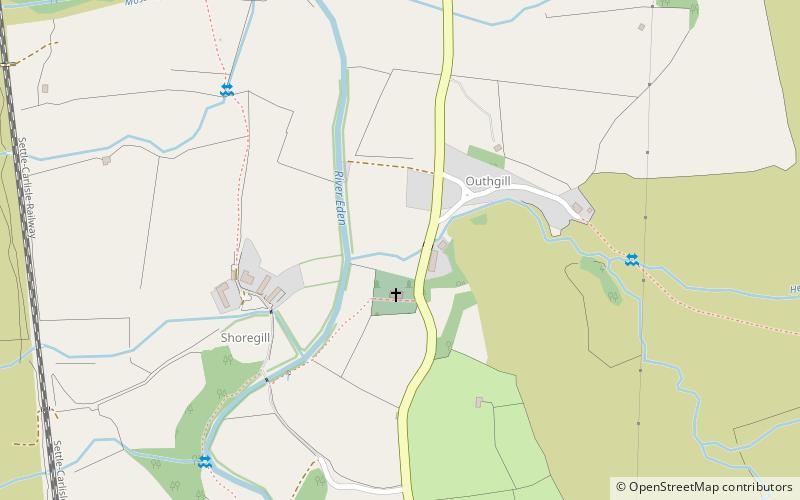
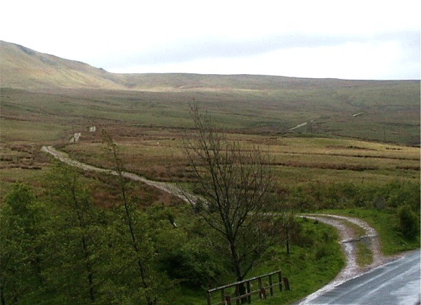
Mallerstang is a civil parish in the extreme east of Cumbria, and, geographically, a dale at the head of the upper Eden Valley. Originally part of Westmorland, it lies about 6 miles south of the nearest town, Kirkby Stephen. Its eastern edge, at Aisgill, borders on North Yorkshire; and since August 2016 it has been within the Yorkshire Dales National Park. ()
Address
Yorkshire Dales National Park
ContactAdd
Social media
Add
Day trips


