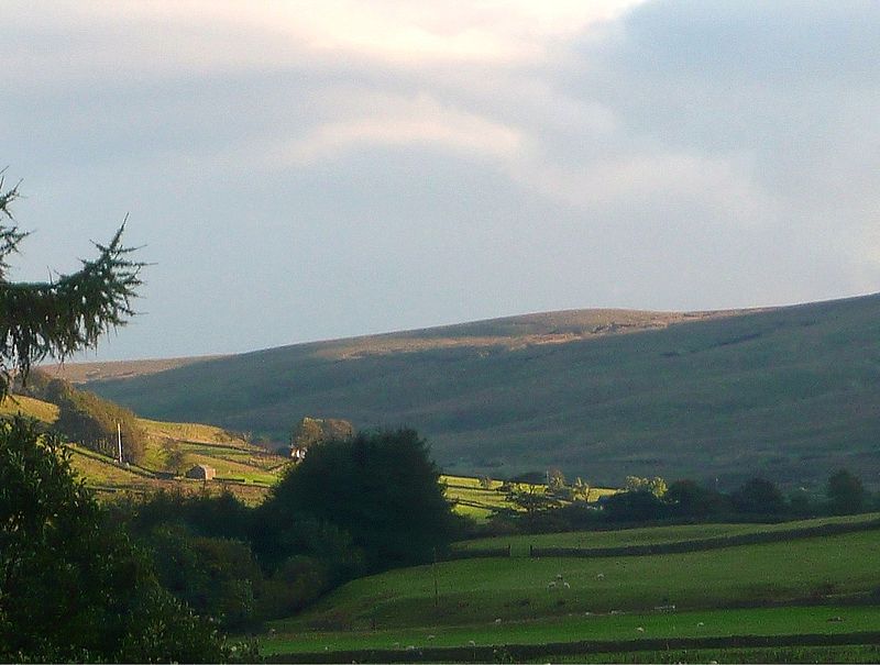
Swarth Fell, Yorkshire Dales National Park

Gallery (2)
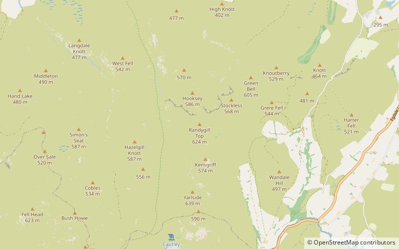
Map
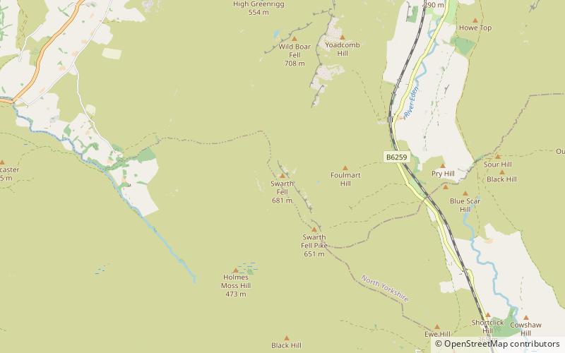
Map
Gallery
Facts and practical information
Swarth Fell is an approximately 1 mile stretch of high ground situated to the south of Wild Boar Fell, of which it is a continuation. It is mostly within Mallerstang, Cumbria, but the boundary between Cumbria and North Yorkshire runs along its length, just to the west of the highest points. ()
Elevation: 2234 ftProminence: 249 ftCoordinates: 54°21'54"N, 2°22'38"W
Address
Yorkshire Dales National Park
ContactAdd
Social media
Add
Day trips