Cathedral Road, Cardiff
Map

Map

Facts and practical information
Cathedral Road is one of the major roads of western Cardiff, Wales, passing through the suburb of Pontcanna. It forms part of the A4119 road from Cardiff Bay to Tonypandy and houses which are not lived in have been converted to professional businesses specialising in dentistry, psychotherapy, medicine and solicitors. It connects the centre of the Welsh capital to the north-west of the city. ()
Coordinates: 51°29'7"N, 3°11'39"W
Address
Caerdydd Wouth (Ar Lan Yr Afon)Cardiff
ContactAdd
Social media
Add
Day trips
Cathedral Road – popular in the area (distance from the attraction)
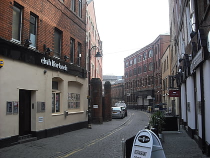
Nearby attractions include: National Museum Cardiff, Cardiff Castle, Millennium Stadium, Clwb Ifor Bach.
Frequently Asked Questions (FAQ)
Which popular attractions are close to Cathedral Road?
Nearby attractions include Sophia Gardens, Cardiff (5 min walk), St Mary of the Angels Roman Catholic Church, Cardiff (5 min walk), Sophia Gardens, Cardiff (7 min walk), The Bone Yard, Cardiff (10 min walk).
How to get to Cathedral Road by public transport?
The nearest stations to Cathedral Road:
Bus
Train
Bus
- Sophia Gardens Coach Station (6 min walk)
- Canton Chapter Arts Centre • Lines: 1 (12 min walk)
Train
- Ninian Park (18 min walk)
- Cathays (18 min walk)


