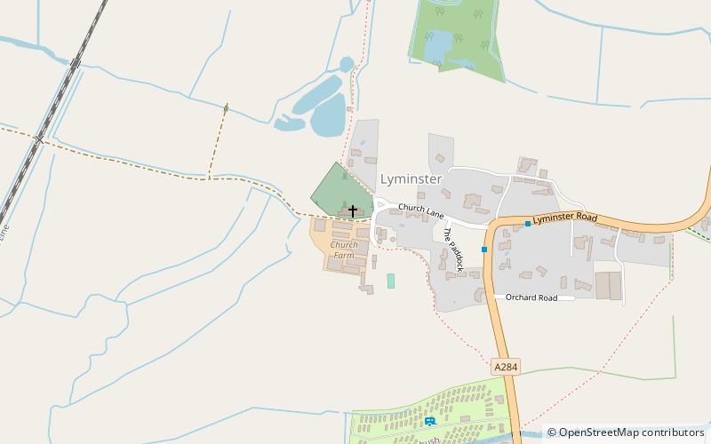
Lyminster Priory, Littlehampton
Map

Map

Facts and practical information
Lyminster Priory was a priory in Lyminster, West Sussex, England. It was a possible Saxon royal minster of Benedictine nuns and was founded or refounded about 1082AD by Roger de Montgomery, Earl of Sussex, who granted land to St. Peter's Abbey, Almenesches. The Priory was dissolved in about 1414AD and is now the Parish Church of St Mary Magdalene. ()
Coordinates: 50°49'60"N, 0°32'56"W
Address
Littlehampton
ContactAdd
Social media
Add
Day trips
Lyminster Priory – popular in the area (distance from the attraction)
Nearby attractions include: St Mary Magdalene's Church, South Marsh Mill, Church of St Mary Magdalene, Slayer's Slab.
Frequently Asked Questions (FAQ)
Which popular attractions are close to Lyminster Priory?
Nearby attractions include Slayer's Slab, Littlehampton (1 min walk), Church of St Mary Magdalene, Littlehampton (2 min walk).
How to get to Lyminster Priory by public transport?
The nearest stations to Lyminster Priory:
Bus
Train
Bus
- The Crossways • Lines: 700 (24 min walk)
- Wick Street • Lines: 700 (25 min walk)
Train
- Arundel (26 min walk)


