Slayer's Slab, Littlehampton
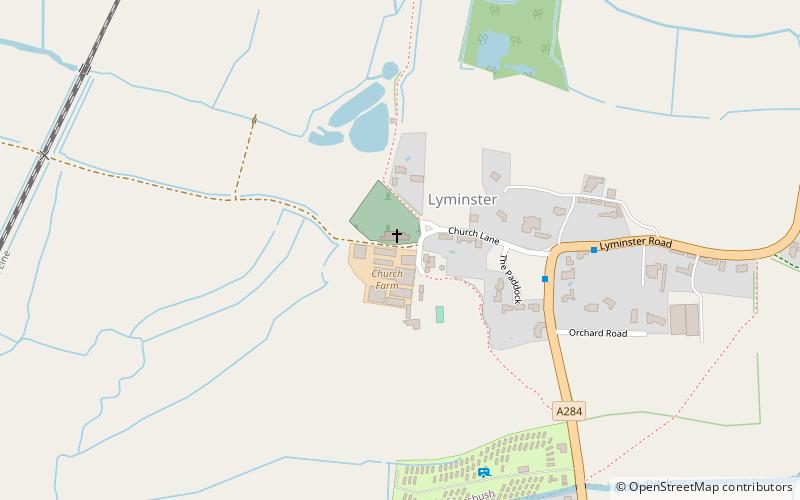
Map

Map

Facts and practical information
The Slayer's Slab is a title given to a medieval gravestone formerly in the graveyard of Lyminster church in West Sussex, England. It has now been moved inside the church to protect it from weathering. According to legend it is the gravestone of the dragonslayer who killed the Knucker who lived in the nearby knuckerhole. The stone has a cross on it overlaying a herringbone pattern, but no inscription to identify the tomb's occupant. ()
Coordinates: 50°49'60"N, 0°32'56"W
Address
Littlehampton
ContactAdd
Social media
Add
Day trips
Slayer's Slab – popular in the area (distance from the attraction)
Nearby attractions include: St Mary Magdalene's Church, South Marsh Mill, Lyminster Priory, Church of St Mary Magdalene.
Frequently Asked Questions (FAQ)
Which popular attractions are close to Slayer's Slab?
Nearby attractions include Lyminster Priory, Littlehampton (1 min walk), Church of St Mary Magdalene, Littlehampton (2 min walk).
How to get to Slayer's Slab by public transport?
The nearest stations to Slayer's Slab:
Bus
Train
Bus
- The Crossways • Lines: 700 (24 min walk)
- Wick Street • Lines: 700 (25 min walk)
Train
- Arundel (27 min walk)


