Sutherland Grange, Slough
Map
Facts and practical information
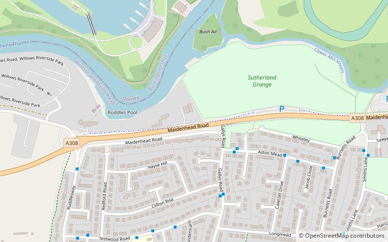
Sutherland Grange is a 3.2-hectare Local Nature Reserve on the northern outskirts of Dedworth, a suburb of Windsor in Berkshire. It is owned and managed by the Royal Borough of Windsor and Maidenhead. ()
Elevation: 82 ft a.s.l.Coordinates: 51°29'6"N, 0°38'56"W
Address
Slough
ContactAdd
Social media
Add
Getting there by public transportation
Public transportation stops near this location
- Bus
 Bus
Bus
- Calculate routeBallard Green 3 min walk
- Calculate routeGallys Road 4 min walk
- Calculate routeCawcott Drive 6 min walk
- Calculate routeHomer First School 7 min walk
Day trips


Frequently Asked Questions (FAQ)
Which popular attractions are close to Sutherland Grange?
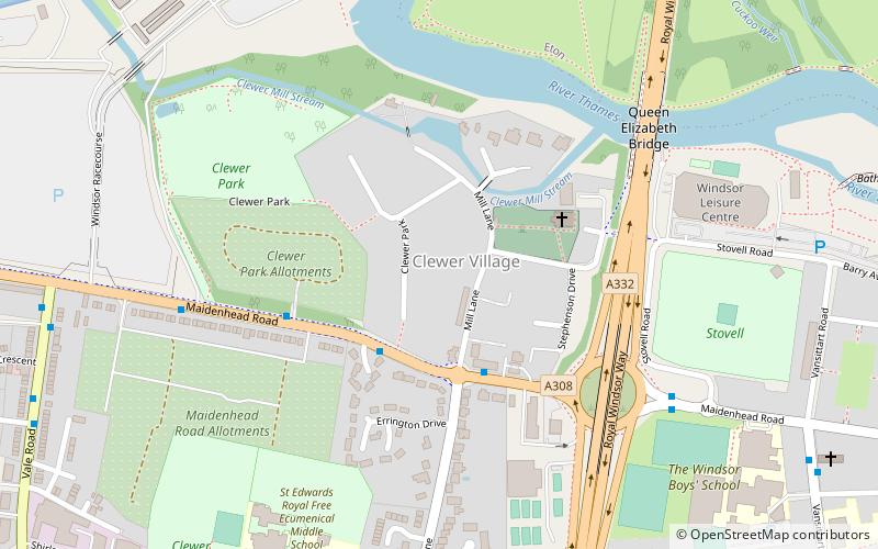
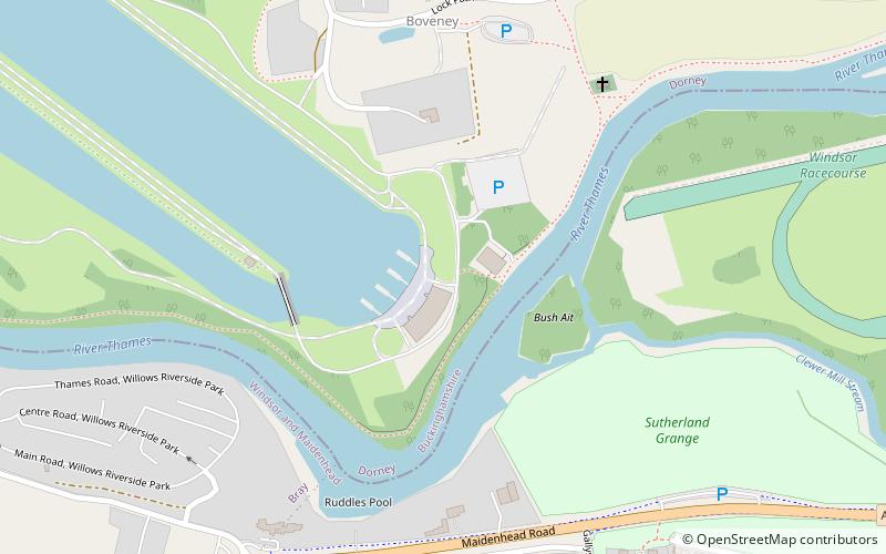
Nearby attractions include St Mary Magdalene's Church, Slough (10 min walk), Dedworth, Slough (13 min walk), Boveney Lock, Slough (14 min walk), Windsor Racecourse, Slough (22 min walk).
How to get to Sutherland Grange by public transport?
The nearest stations to Sutherland Grange:
Bus
Bus
- Ballard Green • Lines: 2 (3 min walk)
- Gallys Road • Lines: 2 (4 min walk)