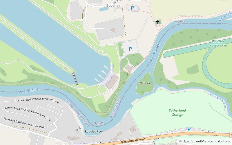
Dedworth, Slough
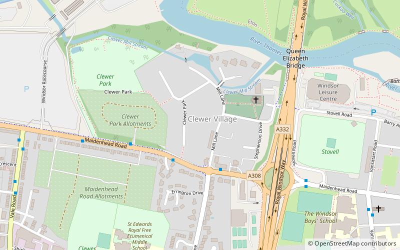
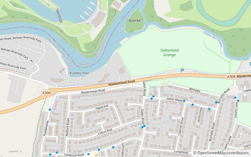
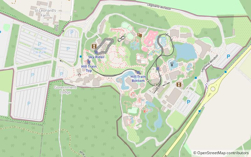
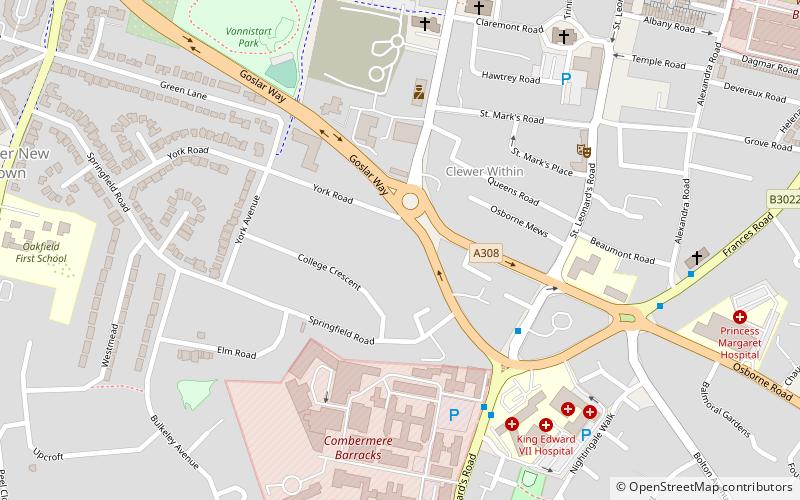
Map
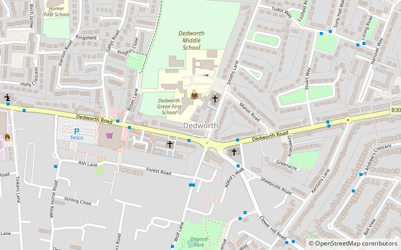
Map

Facts and practical information
Dedworth is the most westerly area of Windsor in Berkshire, England. ()
Coordinates: 51°28'41"N, 0°38'42"W
Address
Slough
ContactAdd
Social media
Add
Day trips
Dedworth – popular in the area (distance from the attraction)
Nearby attractions include: Legoland Windsor, Windsor Racecourse, St Mary Magdalene's Church, Clewer.
Frequently Asked Questions (FAQ)
Which popular attractions are close to Dedworth?
Nearby attractions include Sutherland Grange, Slough (13 min walk), St Mary Magdalene's Church, Slough (22 min walk), Boveney Lock, Slough (23 min walk), Clewer, Windsor and Eton (24 min walk).
How to get to Dedworth by public transport?
The nearest stations to Dedworth:
Bus
Train
Bus
- The Maypole • Lines: 2 (1 min walk)
- All Saints Church • Lines: 2 (2 min walk)
Train
- Sky Rider (26 min walk)
- Hill Train Bottom (26 min walk)


