Marfleet, Kingston upon Hull
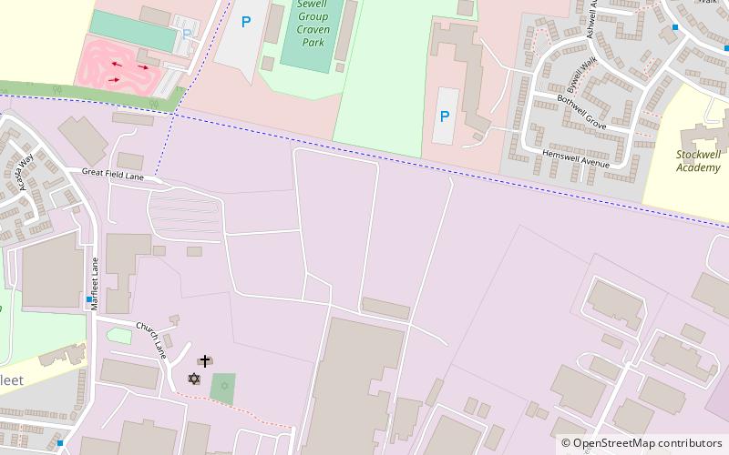
Map
Facts and practical information
Marfleet is an area of Kingston upon Hull, East Riding of Yorkshire, England, in the east of the city, near King George Dock. ()
Coordinates: 53°45'4"N, 0°15'49"W
Address
Park (Marfleet)Kingston upon Hull
ContactAdd
Social media
Add
Getting there by public transportation
Public transportation stops near this location
- Bus
 Bus
Bus
- Calculate routeHolderness Road Ellesmere Avenue 37 min walk
- Calculate routeThe Crooked Billet PH 38 min walk
Day trips


Frequently Asked Questions (FAQ)
How to get to Marfleet by public transport?
The nearest stations to Marfleet:
Bus
Bus
- Holderness Road Ellesmere Avenue • Lines: 99 (37 min walk)
- The Crooked Billet PH • Lines: 99 (38 min walk)