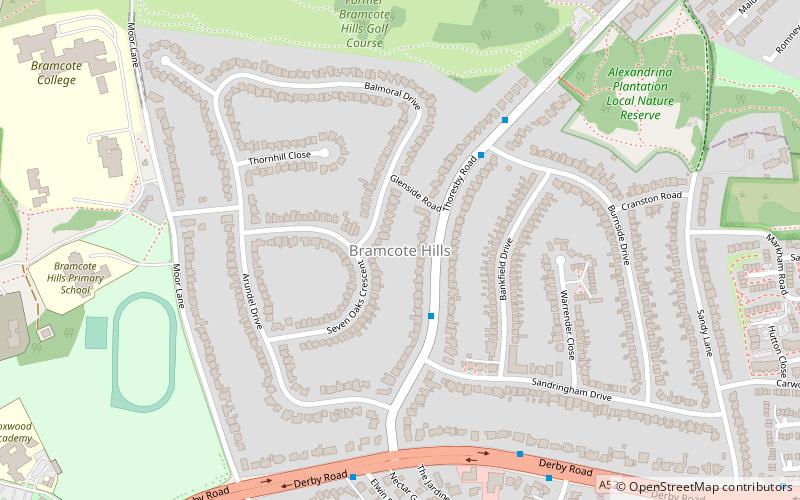
Bramcote Hills, Nottingham
Map
Facts and practical information
Bramcote Hills forms the northern area of the village and Nottingham suburb of Bramcote, Nottinghamshire, built in the 1950s. It is separated from the main part of the village by the A52 Derby Road. It takes the name from an old family seat of Bramcote Hills, the home of the Sherwin and Sherwin-Gregory family. ()
Coordinates: 52°56'27"N, 1°14'27"W
Address
Nottingham
ContactAdd
Social media
Add
Getting there by public transportation
Public transportation stops near this location
- Bus
- Tram
 Bus
Bus
- Calculate routeSandringham Drive 2 min walk
- Calculate routeBurnside Drive 4 min walk
- Calculate routeThoresby Road 6 min walk
- Calculate routeCow Lane 6 min walk
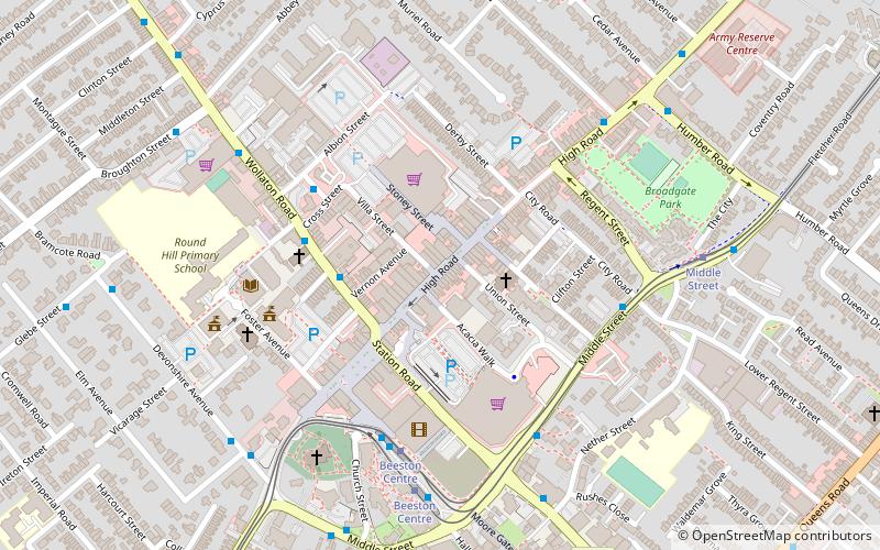
- Calculate routeBeeston Centre 39 min walk
Day trips


Frequently Asked Questions (FAQ)
Which popular attractions are close to Bramcote Hills?
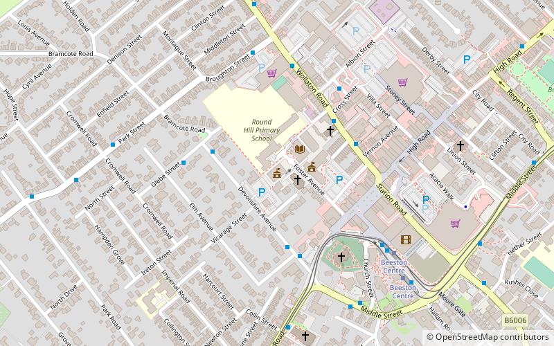
Nearby attractions include Church of St Michael and All Angels, Nottingham (12 min walk), Beeston Fields Drive, Erewash (14 min walk).
How to get to Bramcote Hills by public transport?
The nearest stations to Bramcote Hills:
Bus
Tram
Bus
- Sandringham Drive • Lines: L10 (2 min walk)
- Burnside Drive • Lines: L10 (4 min walk)
Tram
- Beeston Centre • Lines: 1 (39 min walk)