Trek Zone

High Road, Attenborough Nature Reserve

#2 among attractions in Attenborough Nature Reserve

Street
High Road location map
Map

Facts and practical information
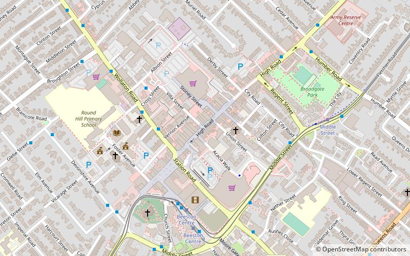
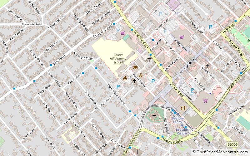
Coordinates: 52°55'40"N, 1°12'51"W
Address

Attenborough Nature Reserve United Kingdom

ContactAdd
Social media
Add
Day trips

High Road – popular in the area (distance from the attraction)

Nearby attractions include: Highfields Park, Nottingham Tennis Centre, Beeston Town Hall, Nottingham New Theatre.

  • highfields park nottingham1 miNE
  • nottingham tennis centre1.1 miNE
  • beeston town hall attenborough nature reserve location map
    ~990 ftW
  • nottingham new theatre1 miNE
  • st john the baptist church nottingham~950 ftSW
  • st barnabas church nottingham0.8 miN
  • hallward library nottingham1 miNE
  • beeston nottingham~900 ftSW
  • university of nottingham1 miNE
  • chilwell road methodist church nottingham~1520 ftSW
  • queens road methodist church nottingham~1970 ftE

Frequently Asked Questions (FAQ)

Which popular attractions are close to High Road?

Nearby attractions include Beeston, Nottingham (5 min walk), St John the Baptist Church, Nottingham (5 min walk), Beeston Town Hall, Attenborough Nature Reserve (5 min walk), War Memorial Cross, Nottingham (6 min walk).

Where to next? Visit england England region page or discover the top tourist attractions in United Kingdom.