Trek Zone

Cowcliffe, Huddersfield

#36 among attractions in Huddersfield

Neighbourhood
Cowcliffe

Facts and practical information
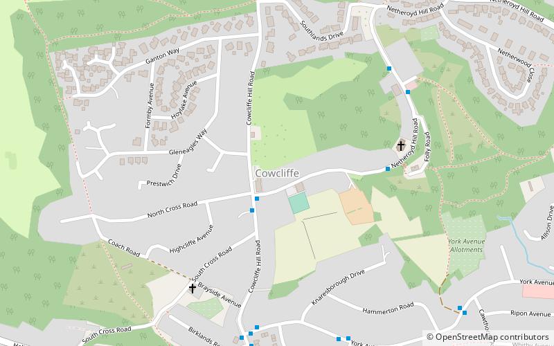
Coordinates: 53°40'4"N, 1°47'23"W
Address

Ashbrow (Cowcliffe)Huddersfield United Kingdom

ContactAdd
Social media
Add

Huddersfield plan & book

Unleash the traveler in you — discover the cheapest flight deals, find the perfect hotel or hostel nearby, and search for the best car rental prices. Travel at your own pace to discover new places and enjoy your journey.

Day trips

Cowcliffe – popular in the area (distance from the attraction)

Nearby attractions include: Kirklees Stadium, Holy Trinity Church, South Pennine Ring, The Magical Forest.

  • kirklees stadium huddersfield1.3 miSE
  • holy trinity church huddersfield1.2 miS
  • south pennine ring huddersfield1.4 miNW
  • the magical forest huddersfield1.4 miSW
  • marsh huddersfield1.4 miSW
  • birkby huddersfield0.7 miSW
  • brackenhall huddersfield0.8 miNE
  • fartown huddersfield location map
    0.5 miSE
  • sheepridge huddersfield location map
    0.9 miE
  • fartown ground huddersfield0.4 miS
  • edgerton huddersfield1 miSW

Frequently Asked Questions (FAQ)

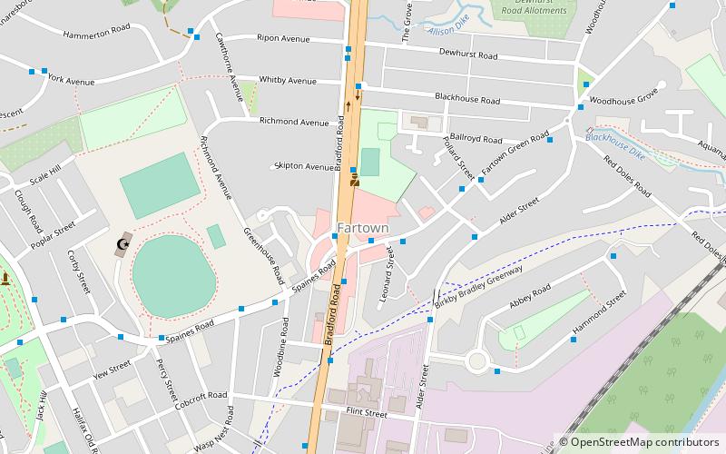
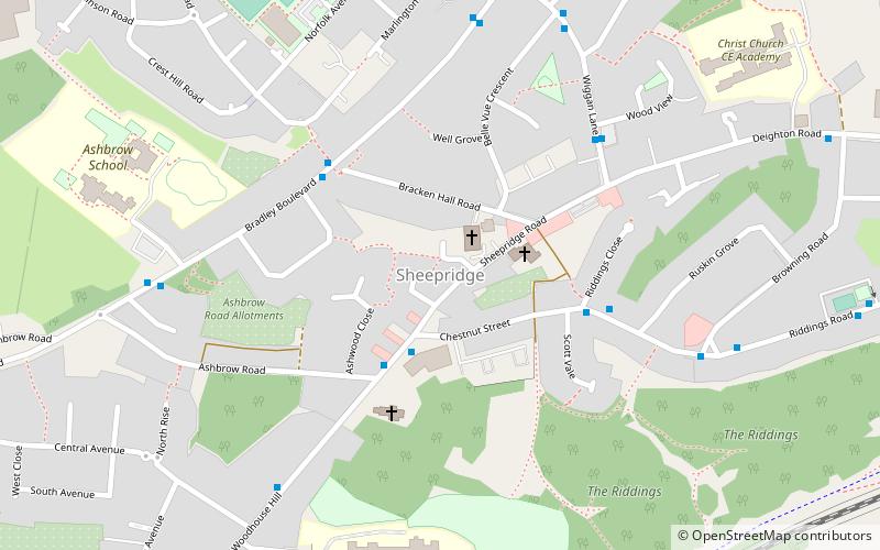
Which popular attractions are close to Cowcliffe?

Nearby attractions include Fartown, Huddersfield (14 min walk), Birkby, Huddersfield (18 min walk), Brackenhall, Huddersfield (21 min walk), Sheepridge, Huddersfield (23 min walk).

How to get to Cowcliffe by public transport?

The nearest stations to Cowcliffe:

Bus
  • Old Fieldhouse Lane Depot (31 min walk)

Where to next? Visit england England region page or discover the top tourist attractions in United Kingdom.