Burdiehouse, Edinburgh

Gallery (1)
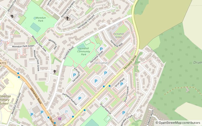
Map

Map
Facts and practical information
Coordinates: 55°53'46"N, 3°9'34"W
Address
BurdiehouseEdinburgh
ContactAdd
Social media
Add
Getting there by public transportation
Public transportation stops near this location
- Bus
 Bus
Bus
- Calculate routeBurdiehouse Terminus 2 min walk
- Calculate routeJanefield 4 min walk
Day trips


Frequently Asked Questions (FAQ)
How to get to Burdiehouse by public transport?
The nearest stations to Burdiehouse:
Bus
Bus
- Burdiehouse Terminus • Lines: 37 (2 min walk)
- Janefield • Lines: 37, 47 (4 min walk)