Ferniehill, Edinburgh
Map
Facts and practical information
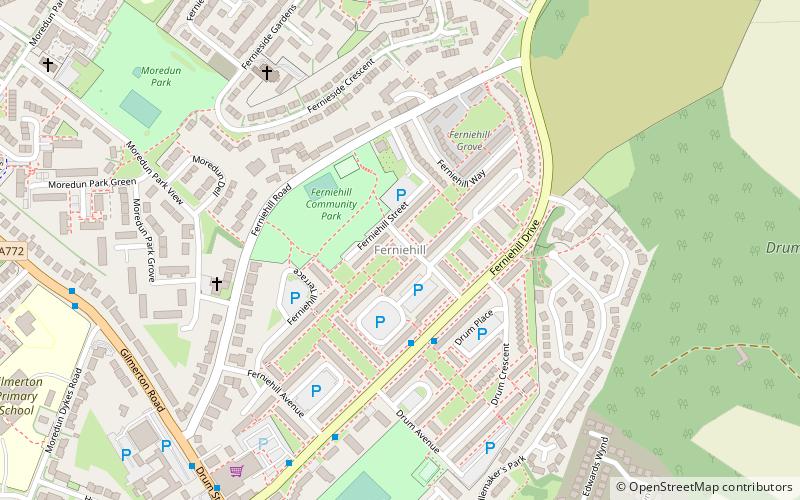
Ferniehill is a residential neighbourhood of Edinburgh, the capital of Scotland. Primarily a low-density 1960s council estate with two small public parks, it is situated in the south-east of the city, lying immediately south of the slightly older Fernieside neighbourhood, east of Moredun, and to the north of Gilmerton's main street, where most local amenities are located. The Drum country estate and some farmland separates it from the village of Danderhall outside the city boundary. ()
Coordinates: 55°54'33"N, 3°7'47"W
Address
FerniehillEdinburgh
ContactAdd
Social media
Add
Getting there by public transportation
Public transportation stops near this location
- Bus
 Bus
Bus
- Calculate routeGilmerton Crossroads 7 min walk
- Calculate routeDrum Street 8 min walk
- Calculate routeFernieside Grove 9 min walk
Day trips


Frequently Asked Questions (FAQ)
Which popular attractions are close to Ferniehill?
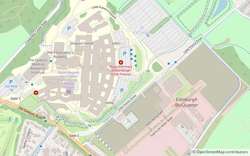
Nearby attractions include Gilmerton Cove, Edinburgh (8 min walk), Moredun, Edinburgh (14 min walk), Danderhall, Edinburgh (21 min walk), Little France, Edinburgh (22 min walk).
How to get to Ferniehill by public transport?
The nearest stations to Ferniehill:
Bus
Bus
- Gilmerton Crossroads • Lines: 29, 3, 400 (7 min walk)
- Drum Street • Lines: 29, 3 (8 min walk)