Midlothian Coalfield, Edinburgh
Map
Facts and practical information
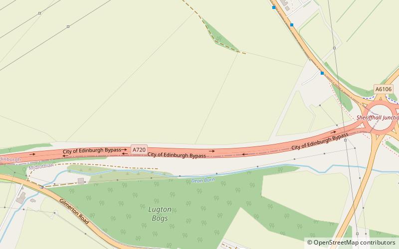
The Midlothian Coalfield is a coalfield in southeast Scotland situated immediately to the east and southeast of Edinburgh. It is geologically continuous with the East Fife Coalfield beneath the Firth of Forth though the undersea coal reserves have only been partly exploited. There were undersea workings extending from Prestonlinks Colliery. The sulphur content of the majority of Midlothian coals is less than 1% making it especially suitable for modern requirements. ()
Coordinates: 55°54'0"N, 3°6'0"W
Address
Edinburgh
ContactAdd
Social media
Add
Getting there by public transportation
Public transportation stops near this location
- Bus
 Bus
Bus
- Calculate routeSummerside 6 min walk
- Calculate routeCampend 6 min walk
- Calculate routeDobbies Garden World 6 min walk
- Calculate routeSheriffhall Park and Ride 10 min walk
Day trips


Frequently Asked Questions (FAQ)
Which popular attractions are close to Midlothian Coalfield?
Nearby attractions include Melville Castle, Edinburgh (17 min walk), Elginhaugh, Dalkeith (18 min walk), Lothian, Edinburgh (23 min walk).
How to get to Midlothian Coalfield by public transport?
The nearest stations to Midlothian Coalfield:
Bus
Bus
- Summerside • Lines: 49, 51 (6 min walk)
- Campend • Lines: 49, 51 (6 min walk)