Fairlop, Chigwell
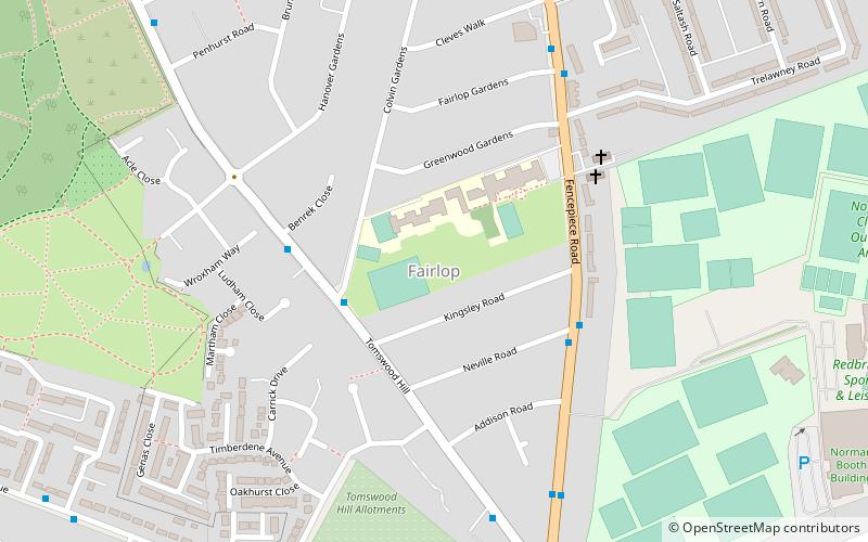
Map
Facts and practical information
Fairlop is a district in the north of Ilford, part of the London Borough of Redbridge in east London. The district consists of fields, forestry and open land providing space for sport/ activity centres, some houses, farmland and watersport/fishing lakes. It also has a tube station. The western part of the district forms the eastern edge of Barkingside High Street shopping district, and simultaneously borders Claybury Park, which used to be home to Claybury Hospital. ()
Coordinates: 51°35'55"N, 0°4'55"E
Address
Redbridge (Fairlop)Chigwell
ContactAdd
Social media
Add
Day trips
Fairlop – popular in the area (distance from the attraction)
Nearby attractions include: Valentines Park, Exchange Ilford, Wanstead Park, Sukkat Shalom Reform Synagogue.
Frequently Asked Questions (FAQ)
How to get to Fairlop by public transport?
The nearest stations to Fairlop:
Bus
Metro
Bus
- Kingsley Road • Lines: 275 (3 min walk)
- Benrek Close • Lines: 275 (4 min walk)
Metro
- Fairlop • Lines: Central (12 min walk)
- Hainault • Lines: Central (16 min walk)


