Foxbar, Paisley
Map

Map

Facts and practical information
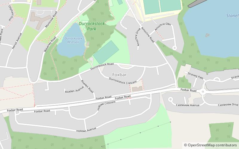
Foxbar is a district of Paisley, bordered by the Gleniffer Braes and Paisley town centre. Consisting mostly of residential areas, Foxbar has rapidly grown over the past century to be one of the largest housing areas in the town. An area of low socioeconomic levels and poor social mobility, the local authority has invested significantly in the area, which nowadays boasts multiple community centres, public parks and social areas. ()
Coordinates: 55°49'18"N, 4°27'37"W
Address
Paisley
ContactAdd
Social media
Add
Day trips
Foxbar – popular in the area (distance from the attraction)
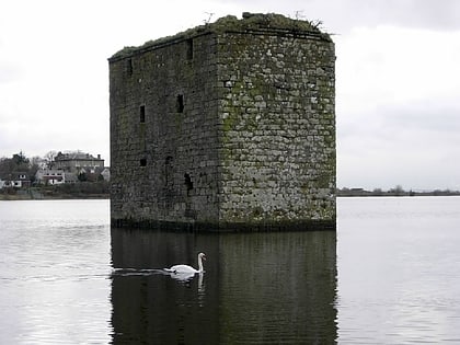
Nearby attractions include: Stanely Castle, Wallace Yew, Brodie Park, Gleniffer Braes.
Frequently Asked Questions (FAQ)
How to get to Foxbar by public transport?
The nearest stations to Foxbar:
Bus
Bus
- Paisley, Brediland Road / Garry Drive • Lines: 61 (17 min walk)


