Roxbourne, Uxbridge

Map
Facts and practical information
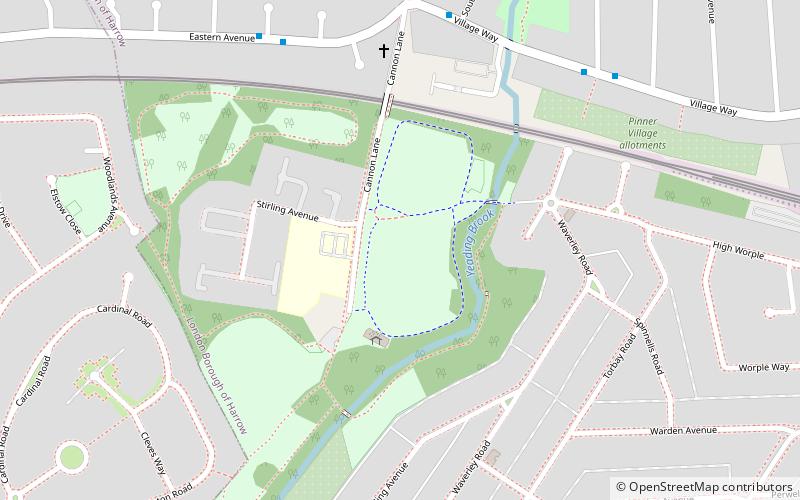
Roxbourne was a hamlet in the London Borough of Harrow west of Rayners Lane in the north west of Greater London. It includes the Yeading Brook and Roxbourne Park which provides 26 hectares of open space including football and cricket facilities; the Roxbourne Rough Nature Reserve, enriched with wildlife; and the Roxbourne Railway. ()
Coordinates: 51°34'30"N, 0°22'57"W
Address
Harrow (Pinner South)Uxbridge
ContactAdd
Social media
Add
Day trips
Roxbourne – popular in the area (distance from the attraction)
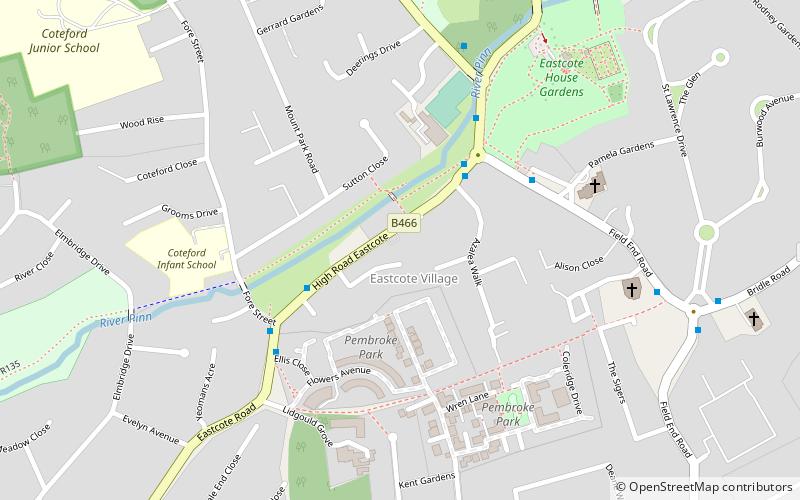
Nearby attractions include: Heath Robinson Museum, Eastcote House Gardens, Black Horse, Rayners.
Frequently Asked Questions (FAQ)
How to get to Roxbourne by public transport?
The nearest stations to Roxbourne:
Bus
Metro
Bus
- Southbourne Close • Lines: 398, H12 (6 min walk)
- Raleigh Close • Lines: 398 (6 min walk)
Metro
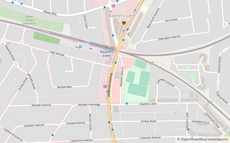
- Rayners Lane • Lines: Metropolitan, Piccadilly (13 min walk)
- Eastcote • Lines: Metropolitan, Piccadilly (16 min walk)


