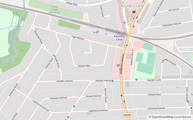
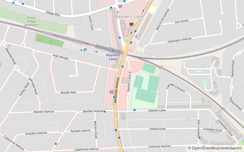
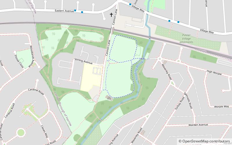
Rayners Lane, London

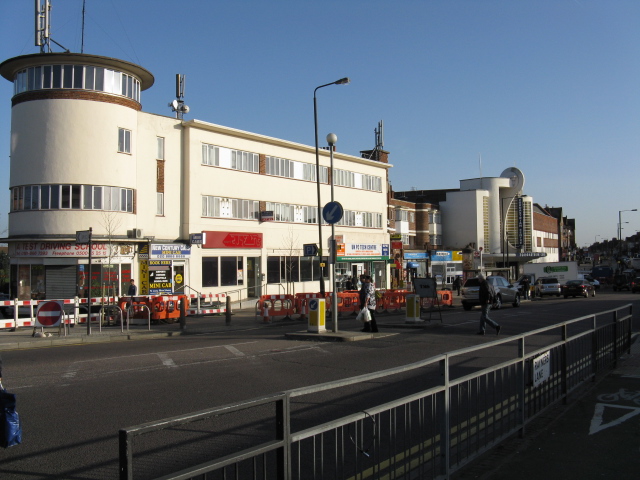
Gallery (3)
Map
Map
Gallery
Facts and practical information
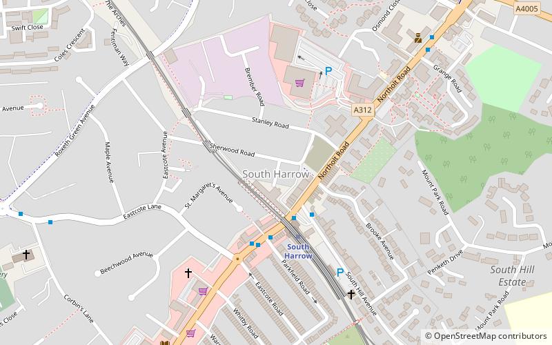
Rayners Lane is a suburban district in the London Borough of Harrow that forms the western part of Harrow. Located between Pinner and West Harrow, it takes its name from a road in the area, also called Rayners Lane which runs from Marsh Road in Pinner to Eastcote Lane in South Harrow. ()
Coordinates: 51°34'25"N, 0°22'25"W
Address
Harrow (Rayners Lane)London
ContactAdd
Social media
Add
Getting there by public transportation
Public transportation stops near this location
- Metro
- Bus
- Train
 Metro
Metro
- Calculate routeWarden Avenue 3 min walk
- Calculate routeRayners Lane Station 5 min walk
- Calculate routeAlexandra Avenue 5 min walk
- Calculate routeOxleay Road 5 min walk
- Calculate routeRayners Lane 4 min walk
- Calculate routeNorth Harrow 24 min walk
- Calculate routeWest Harrow 25 min walk
- Calculate routeNortholt Park 33 min walk
Maps Tube
Tube
TubeDay trips


Frequently Asked Questions (FAQ)
How to get to Rayners Lane by public transport?
The nearest stations to Rayners Lane:
Bus
Metro
Train
Bus
- Warden Avenue • Lines: 398, H10, H12, H9 (3 min walk)
- Rayners Lane Station • Lines: 398, H10, H12, H9 (5 min walk)
Metro
- Rayners Lane • Lines: Metropolitan, Piccadilly (4 min walk)
- North Harrow • Lines: Metropolitan (24 min walk)
Train
- Northolt Park (33 min walk)