Limes Britannicus, Hadrian's Wall

Map
Facts and practical information
The frontier of the Roman Empire in Britain is sometimes styled Limes Britannicus by authors for the boundaries, including fortifications and defensive ramparts, that were built to protect Roman Britain. These defences existed from the 1st to the 5th centuries AD and ran through the territory of present-day England, Scotland and Wales. ()
Coordinates: 54°59'29"N, 2°21'39"W
Address
Hadrian's Wall
ContactAdd
Social media
Add
Day trips
Limes Britannicus – popular in the area (distance from the attraction)
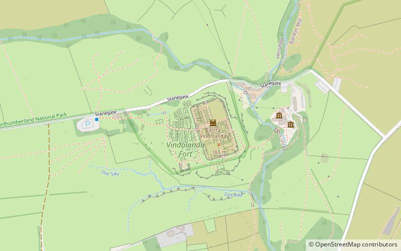
Nearby attractions include: Crag Lough, Vindolanda, Sycamore Gap Tree, Milecastle 39.
Frequently Asked Questions (FAQ)
How to get to Limes Britannicus by public transport?
The nearest stations to Limes Britannicus:
Bus
Train
Bus
- The Sill • Lines: Ad122 (29 min walk)
Train
- Bardon Mill (34 min walk)


