National Cycle Route 66, York

Map
Facts and practical information
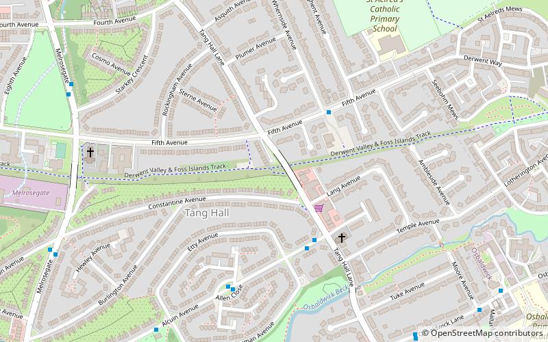
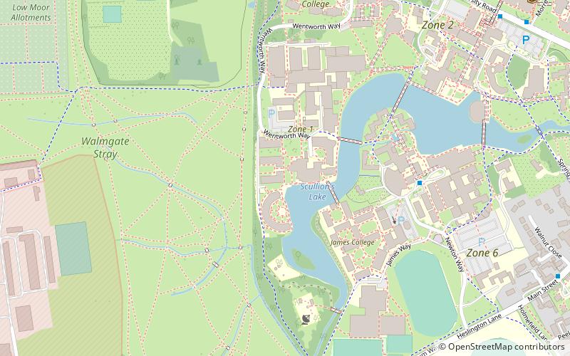
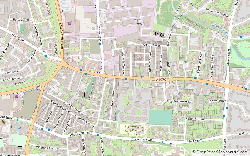
National Cycle Network Route 66 is a Sustrans National Route that runs from Kingston upon Hull to Manchester via Beverley, York and Leeds. ()
Coordinates: 53°57'35"N, 1°3'4"W
Address
Tang HallYork
ContactAdd
Social media
Add
Day trips
National Cycle Route 66 – popular in the area (distance from the attraction)
Nearby attractions include: The Blue Bell, More House, York Barbican, St Denys's Church.
Frequently Asked Questions (FAQ)
Which popular attractions are close to National Cycle Route 66?
Nearby attractions include Siward's Howe, York (18 min walk), Lawrence Street, York (19 min walk), Layerthorpe, York (21 min walk), Heslington Church, York (23 min walk).
How to get to National Cycle Route 66 by public transport?
The nearest stations to National Cycle Route 66:
Bus
Bus
- Hull Road, adj Milson Grove • Lines: 10 (11 min walk)


