Durham Coalfield, Beamish

Map
Facts and practical information
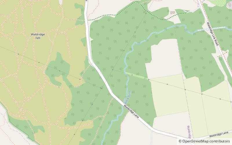
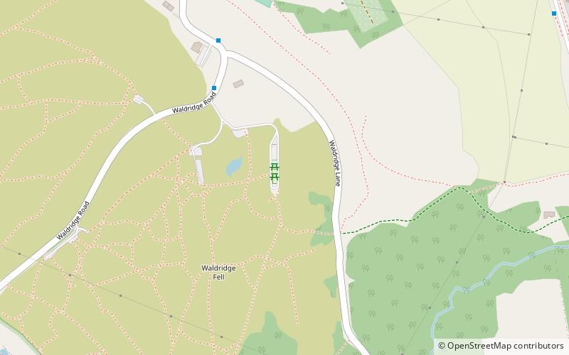
The Durham Coalfield is a coalfield in north-east England. It is continuous with the Northumberland Coalfield to its north. It extends from Bishop Auckland in the south to the boundary with the county of Northumberland along the River Tyne in the north, beyond which is the Northumberland Coalfield. ()
Coordinates: 54°50'19"N, 1°36'16"W
Address
Beamish
ContactAdd
Social media
Add
Day trips
Durham Coalfield – popular in the area (distance from the attraction)
Nearby attractions include: Pelaw Grange, Finchale Priory, Lambton Castle, Concangis.


