Shanklin Village, Banstead

Map
Facts and practical information
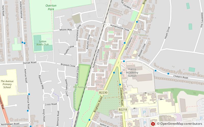
Shanklin Village, also known as the Shanklin Estate or Shanklin Village Estate is a council housing estate in Sutton, South London, sited between Brighton Road and the Epsom Downs Branch railway line. It was built in the late 1960s to replace a number of prefabricated buildings, purpose-built after the second World War. ()
Coordinates: 51°20'51"N, 0°11'47"W
Address
Sutton (Belmont)Banstead
ContactAdd
Social media
Add
Day trips
Shanklin Village – popular in the area (distance from the attraction)
Nearby attractions include: Whitehall, Lumley Chapel, Sutton armillary, Secombe Theatre.
Frequently Asked Questions (FAQ)
Which popular attractions are close to Shanklin Village?
Nearby attractions include Belmont Pastures, Banstead (5 min walk), Devonshire Avenue Nature Area, Banstead (16 min walk), Sutton, London (24 min walk).
How to get to Shanklin Village by public transport?
The nearest stations to Shanklin Village:
Bus
Train
Bus
- Hail & Ride Chiltern Road • Lines: S1 (3 min walk)
- Sutton Hospital • Lines: 280, 420, 80, 820, S1 (3 min walk)
Train
- Belmont (8 min walk)
- Sutton (23 min walk)


