Barstable School, Basildon
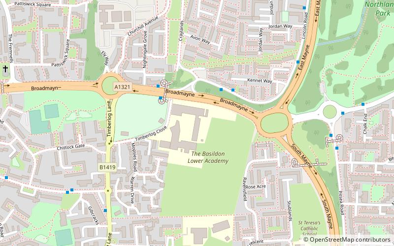
Map
Facts and practical information
The Barstable School, also known as The Federation of Chalvedon School and Sixth Form College and Barstable Schools and The East Basildon School, was a mixed intake secondary school in Basildon, Essex. ()
Coordinates: 51°34'24"N, 0°29'22"E
Address
Vange (Long Riding Stacies)Basildon
ContactAdd
Social media
Add
Getting there by public transportation
Public transportation stops near this location
- Bus
- Train
 Bus
Bus
- Calculate routeCraylands 3 min walk
- Calculate routeBarstable School 3 min walk
- Calculate routeGibcracks 7 min walk
- Calculate routeHereford Walk 7 min walk
- Calculate routePitsea 31 min walk
Day trips


Frequently Asked Questions (FAQ)
How to get to Barstable School by public transport?
The nearest stations to Barstable School:
Bus
Train
Bus
- Craylands • Lines: 1, 1A (3 min walk)
- Barstable School • Lines: 1, 1A, 220, 8, 8A, Z4 (3 min walk)
Train
- Pitsea (31 min walk)