Old Basford, Nottingham

Map
Facts and practical information
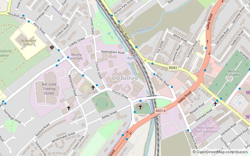
Old Basford is an area of Nottingham located next to New Basford being split by Valley Road/Western Boulevard. The parish church of St Leodegarius was built in the 12th century. The north aisle and north arcade were rebuilt in 1858–59 and the church restored, except for the tower. The church tower collapsed in 1859 and was rebuilt in 1859–61. Near the church is the Manor House of c. 1700. ()
Coordinates: 52°58'50"N, 1°10'44"W
Address
BasfordNottingham
ContactAdd
Social media
Add
Day trips
Old Basford – popular in the area (distance from the attraction)
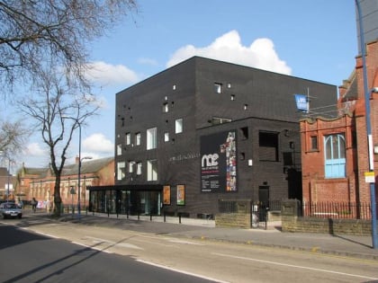
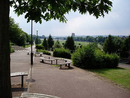
Nearby attractions include: New Art Exchange, Forest Recreation Ground, Wilkinson Street tram stop, Church Cemetery.
Frequently Asked Questions (FAQ)
Which popular attractions are close to Old Basford?
Nearby attractions include Gurdwara Ramgarhia Sabha Nottingham, Nottingham (6 min walk), Bhagwati Shakti Peeth Nottingham, Nottingham (11 min walk), St Aidan's Church, Nottingham (12 min walk), Whitemoor, Nottingham (14 min walk).
How to get to Old Basford by public transport?
The nearest stations to Old Basford:
Tram
Bus
Tram
- Basford • Lines: 1, 2 (2 min walk)
- David Lane (9 min walk)
Bus
- Nottingham Road • Lines: 80 (3 min walk)
- Basford Church • Lines: 70, 71 (3 min walk)


