Leicestershire and South Derbyshire Coalfield, Swadlincote
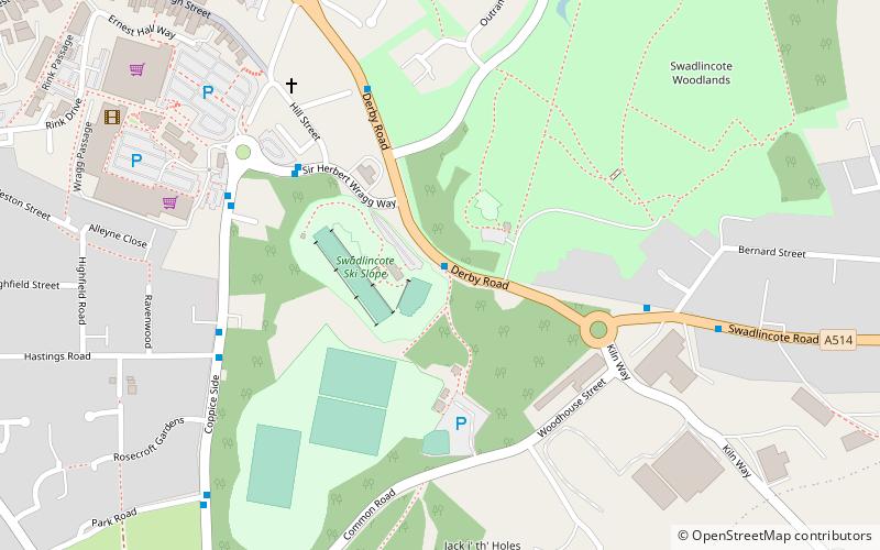
Map
Facts and practical information
The Leicestershire and South Derbyshire Coalfield in the English Midlands is one of the smaller British coalfields. The two areas are sometimes separately referred to as the South Derbyshire Coalfield and the Leicestershire Coalfield. All of the worked coal seams are contained within the Lower and Middle Coal Measures which are of Upper Carboniferous age. ()
Coordinates: 52°46'12"N, 1°33'0"W
Address
Swadlincote
ContactAdd
Social media
Add
Day trips


Frequently Asked Questions (FAQ)
Which popular attractions are close to Leicestershire and South Derbyshire Coalfield?
Nearby attractions include Sharpe's Pottery Museum, Swadlincote (12 min walk), St Stephen's Church, Swadlincote (16 min walk).