Newhall Village Hall, Swadlincote
Map

Map

Facts and practical information
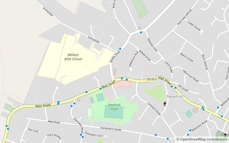
Newhall Village Hall (address: Bretby Road) is a place located in Swadlincote (England kingdom) and belongs to the category of city hall.
It is situated at an altitude of 344 feet, and its geographical coordinates are 52°47'8"N latitude and 1°34'37"W longitude.
Among other places and attractions worth visiting in the area are: Green Park Apex (climbing, 29 min walk), Sharpe's Pottery Museum (specialty museum, 30 min walk), Leicestershire and South Derbyshire Coalfield (neighbourhood, 40 min walk).
Coordinates: 52°47'8"N, 1°34'37"W
Address
Bretby RoadSwadlincote
ContactAdd
Social media
Add
Day trips
Newhall Village Hall – popular in the area (distance from the attraction)
Nearby attractions include: Coopers Square Shopping Centre, St Peter's Bridge, Winshill Water Tower, Ferry Bridge.


