Blackhall Road, Oxford
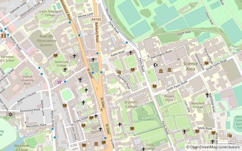
Map
Gallery
Facts and practical information
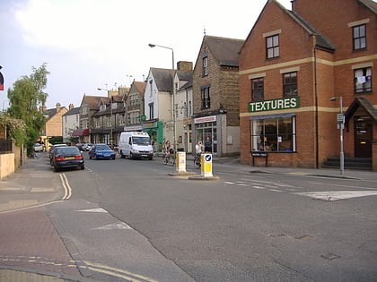
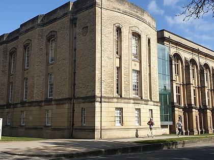
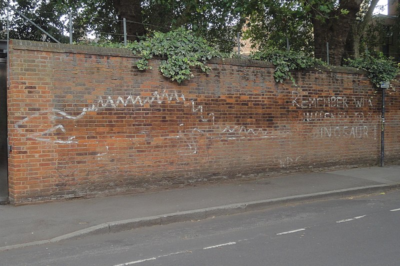
Blackhall Road is a road running between Keble Road to the north and Museum Road to the south in central Oxford, England, dating from the late 19th century. It is named after Black Hall, dating from at least 1519, fronting onto St Giles', and now part of St John's College. Houses in the road were leased by St John's College between 1865–75. ()
Coordinates: 51°45'31"N, 1°15'31"W
Address
CarfaxOxford
ContactAdd
Social media
Add
Day trips
Blackhall Road – popular in the area (distance from the attraction)
Nearby attractions include: Magdalen Street, Walton Street, Ashmolean Museum, Little Clarendon Street.
Frequently Asked Questions (FAQ)
Which popular attractions are close to Blackhall Road?
Nearby attractions include O'Reilly Theatre, Oxford (1 min walk), Keble College, Oxford (1 min walk), Keble Road, Oxford (2 min walk), Oxford Internet Institute, Oxford (2 min walk).
How to get to Blackhall Road by public transport?
The nearest stations to Blackhall Road:
Bus
Train
Bus
- St Giles • Lines: 853 (5 min walk)
- Magdalen Street • Lines: 14, 14A, 35 (7 min walk)
Train
- Oxford (16 min walk)


