Kensington Leisure Centre, London
Map
Facts and practical information
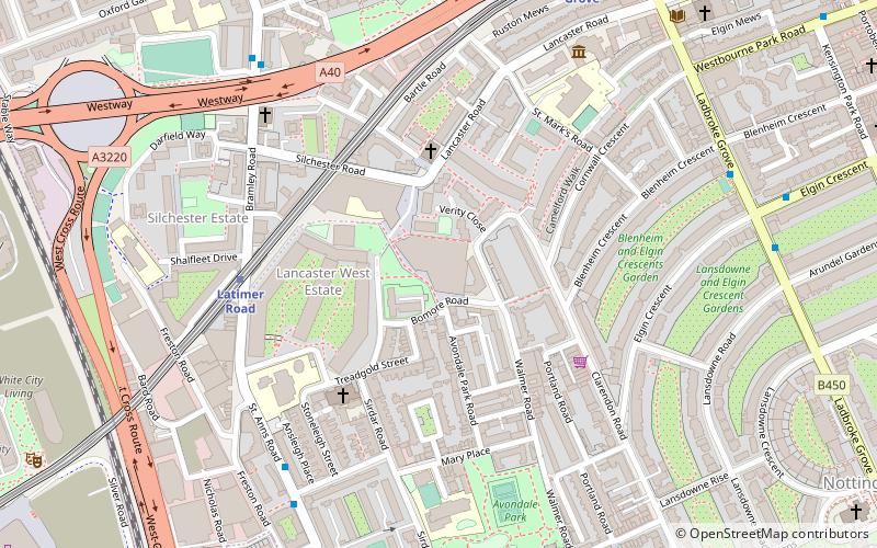
Kensington Leisure Centre is a leisure centre located in the North Kensington area of the Royal Borough of Kensington and Chelsea, in London, England. It occupies land formerly considered to be part of the Lancaster West Estate, and was built with the Kensington Aldridge Academy. Both were officially opened by Catherine, Duchess of Cambridge in January 2015. ()
Coordinates: 51°30'49"N, 0°12'50"W
Address
Kensington and Chelsea (Notting Barns)London
ContactAdd
Social media
Add
Getting there by public transportation
Public transportation stops near this location
- Metro
- Bus
- Train
 Metro
Metro
- Calculate routeLatimer Road Station 5 min walk
- Calculate routeStoneleigh Place 6 min walk
- Calculate routeCrowthorne Road 7 min walk
- Calculate routeCambridge Gardens / St Mark's Road 7 min walk
- Calculate routeLatimer Road 5 min walk
- Calculate routeLadbroke Grove 8 min walk
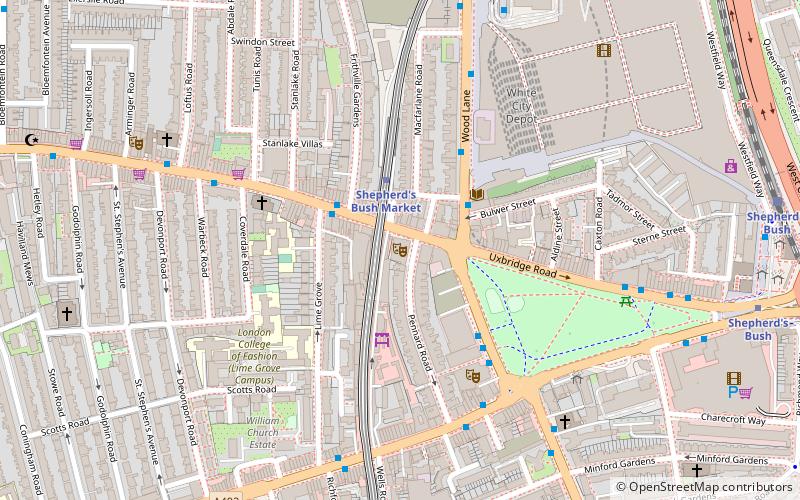
- Calculate routeWhite City 12 min walk
- Calculate routeWood Lane 13 min walk
- Calculate routeShepherd's Bush 15 min walk
Maps Tube
Tube
TubeDay trips


Frequently Asked Questions (FAQ)
Which popular attractions are close to Kensington Leisure Centre?
Nearby attractions include Lancaster West Estate, London (2 min walk), Museum of Brands, London (6 min walk), Arundel Gardens, London (9 min walk), St John's, London (11 min walk).
How to get to Kensington Leisure Centre by public transport?
The nearest stations to Kensington Leisure Centre:
Bus
Metro
Train
Bus
- Latimer Road Station • Lines: 295, 316 (5 min walk)
- Stoneleigh Place • Lines: 295, 316 (6 min walk)
Metro
- Latimer Road • Lines: Circle, Hammersmith & City (5 min walk)
- Ladbroke Grove • Lines: Circle, Hammersmith & City (8 min walk)
Train
- Shepherd's Bush (15 min walk)