Shawlands, Glasgow
Map
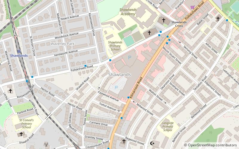
Map

Facts and practical information
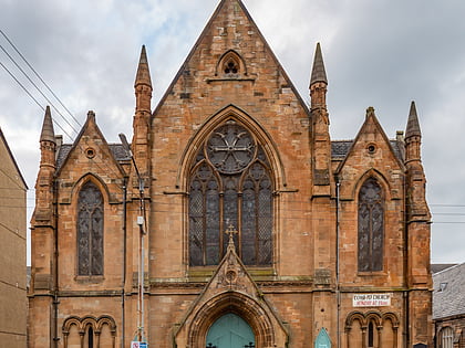
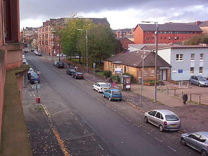
Shawlands is an area of Glasgow, Scotland, located around 2 miles south of the River Clyde. The area is known for its independent restaurant and cafés, art scene, public parks, period terraces, and red and blond sandstone tenements. Shawlands was named one of the best places to live in Scotland in 2022 by The Sunday Times, with judges describing the area as "both practical and cool”. It is located close to Pollok Country Park with the Burrell Collection and to Queen's Park. ()
Area: 128.49 acres (0.2008 mi²)Coordinates: 55°49'42"N, 4°17'7"W
Address
South Side (Pollokshaws)Glasgow
ContactAdd
Social media
Add
Day trips
Shawlands – popular in the area (distance from the attraction)
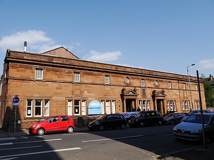
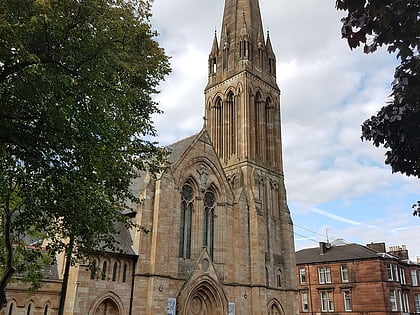
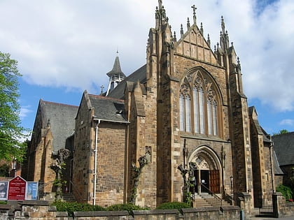
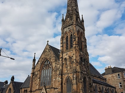
Nearby attractions include: Burrell Collection, Govanhill Baths, Camphill Queen's Park Baptist Church, Pollokshields Parish Church.
Frequently Asked Questions (FAQ)
Which popular attractions are close to Shawlands?
Nearby attractions include Pollokshaws, Glasgow (11 min walk), St Margaret's, Glasgow (14 min walk), Camphill Queen's Park Baptist Church, Glasgow (14 min walk), Millbrae Crescent, Glasgow (15 min walk).
How to get to Shawlands by public transport?
The nearest stations to Shawlands:
Bus
Train
Bus
- Kilmarnock Road / Millwood Street • Lines: 3, 38 (2 min walk)
- Kilmarnock Road / Trefoil Avenue • Lines: 3, 38, 38A (4 min walk)
Train
- Pollokshaws East (7 min walk)
- Shawlands (8 min walk)


