Portwood, Stockport
Map

Map

Facts and practical information
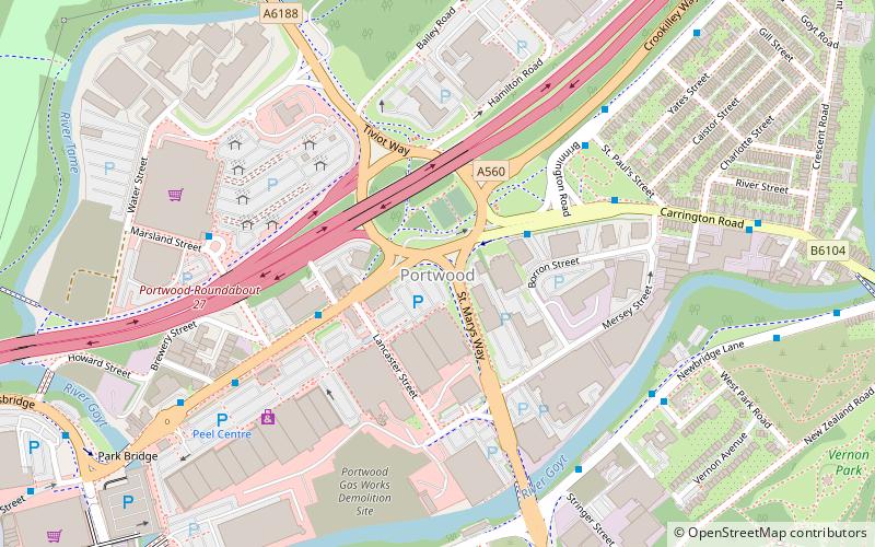
Portwood is an area of Stockport, England, just east of the town centre along Great Portwood Street. The part closest to the town centre contains Meadow Mill and is mainly given over to shops; the outer part is residential. The River Tame and Goyt and M60 motorway run through the area. ()
Coordinates: 53°24'56"N, 2°8'54"W
Address
Stockport (Stockport Central)Stockport
ContactAdd
Social media
Add
Day trips
Portwood – popular in the area (distance from the attraction)
Nearby attractions include: Merseyway Shopping Centre, Hat Works Museum, St Mary's Church, Edgeley Park.
Frequently Asked Questions (FAQ)
Which popular attractions are close to Portwood?
Nearby attractions include The Peel Centre, Stockport (5 min walk), Vernon Park, Stockport (10 min walk), St Mary's Church, Stockport (11 min walk), Staircase House, Stockport (11 min walk).
How to get to Portwood by public transport?
The nearest stations to Portwood:
Bus
Train
Bus
- Stockport, Carrington Road / opposite St Mary's Way • Lines: 322, 324, 325, 327, 330, 382 (3 min walk)
- Stockport, Carrington Road / near St Pauls Street • Lines: 330, 382 (4 min walk)
Train
- Stockport (24 min walk)
- Brinnington (33 min walk)


