Ardheisker, North Uist
#11 among attractions in North Uist
![Ardheisker location map](https://tzmedia.b-cdn.net/media/images/static-maps/gb/57_579_-7_416.jpg)
Facts and practical information
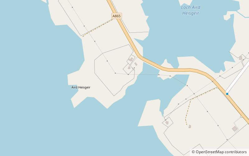
Ardheisker is a settlement on North Uist, in the Outer Hebrides, Scotland. Ardheisker is within the parish of North Uist, and the A865 runs through the settlement. ()
North Uist United Kingdom
North Uist plan & book
Unleash the traveler in you — discover the cheapest flight deals, find the perfect hotel or hostel nearby, and search for the best car rental prices. Travel at your own pace to discover new places and enjoy your journey.
Ardheisker – popular in the area (distance from the attraction)
Nearby attractions include: Pobull Fhinn, Teampull na Trionaid, Barpa Langass, Carinish.
5.1 miEArchaeological sitePobull Fhinn, North Uist
129 min walk • Pobull Fhinn is a stone circle on the Isle of North Uist in the Outer Hebrides. The name is Gaelic. The first word has been variously spelt as pobull, poball, pobul or as plural pobuill.
5.4 miSEChurchTeampull na Trionaid, North Uist
138 min walk • Teampull na Trionaid is a ruined 13th-century Augustinian nunnery at Carinish, on North Uist, in the Outer Hebrides of Scotland.
4.6 miEArchaeological siteBarpa Langass, North Uist
119 min walk • Barpa Langass, is a Neolithic chambered cairn on the Isle of North Uist in the Outer Hebrides of Scotland. It measures about 72 feet in diameter by 18 feet in height, and is around 5,000 years old.
5.5 miSEArchaeological siteCarinish, North Uist
141 min walk • Carinish, is a hamlet on North Uist, in the Outer Hebrides, Scotland. It is in the south of the island, about two miles from the causeway to Benbecula. The hamlet is known for the Carinish Stone Circle and the Trinity Temple. Carinish is within the parish of North Uist and is situated on the A865.
5.2 miNWTower, Archaeological siteScolpaig Tower, North Uist
134 min walk • Scolpaig Tower is a Georgian folly located near the village of Scolpaig on the island of North Uist in the Outer Hebrides. The name probably derives from the Old Norse scolpvik, or 'Scolp Bay'.
5.7 miENature, Natural attraction, LakeLoch Sgadabhagh, North Uist
145 min walk • Loch Sgadabhagh or Loch Scadavay is a body of water on the island of North Uist, Scotland. The name may be of Old Norse derivation meaning "lake of tax bay" although if so, the reason is obscure.
4.1 miWIslandRockall
104 min walk • Rockall is an uninhabitable granite islet situated in the North Atlantic Ocean. The United Kingdom claims that Rockall lies within its exclusive economic zone and is part of its territory, but this claim is not recognised by the Republic of Ireland.
3.7 miSEIslandBaleshare
95 min walk • Baleshare is a flat tidal island in the Outer Hebrides of Scotland. Baleshare lies to the south-west of North Uist. Its economics and community were boosted by the building of a causeway in 1962. The 350-metre causeway was built by William Tawse Ltd.
1.4 miSIslandKirkibost
36 min walk • Kirkibost is a low-lying island west of North Uist in the Outer Hebrides of Scotland.
5.6 miNENeighbourhoodSollas, North Uist
142 min walk • Sollas is a small crofting township on the northern coast of the island of North Uist, Scotland.