Fleet Moss, Yorkshire Dales
Map

Gallery

Facts and practical information
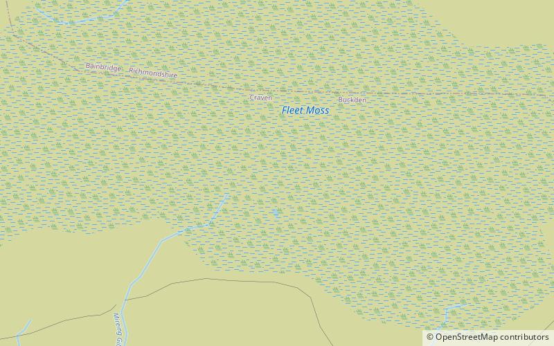
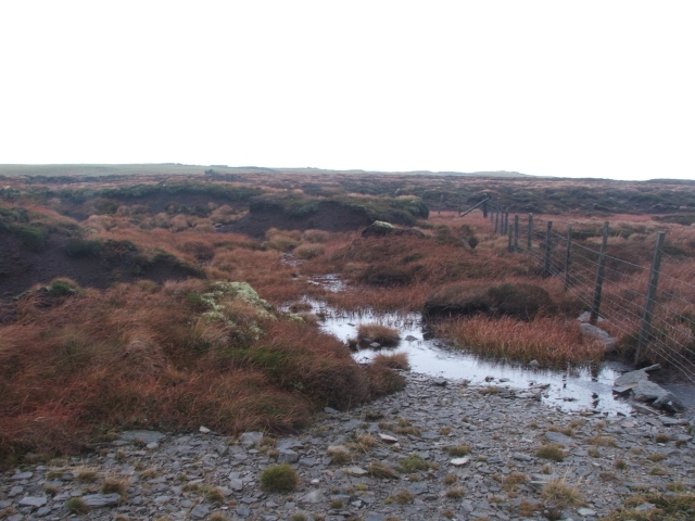
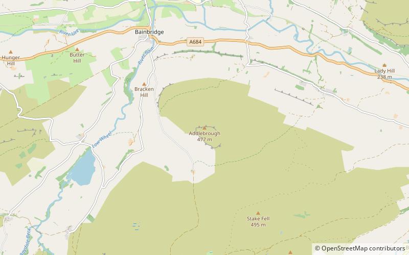
Fleet Moss is a upland area separating Wharfedale from Wensleydale in North Yorkshire, England. The area is 1,850 ft above sea level. Fleet Moss is noted for its peat blanket bog, which has been dated to the Neolithic period. The area is ombrotrophic; this means it needs rain, hail snow and fog for its nutrients. Fleet Moss is known as the most eroded blanket bog in all of Yorkshire; because of its observable damage, it is known colloquially as The Somme, and as such, is visible from space. ()
Coordinates: 54°14'45"N, 2°12'22"W
Address
Yorkshire Dales
ContactAdd
Social media
Add
Day trips
Fleet Moss – popular in the area (distance from the attraction)
Nearby attractions include: Hardraw Force, Gayle Mill, St Mary and St John's Church, Semerwater.


