Plover Hill, Yorkshire Dales National Park
Map

Map

Facts and practical information
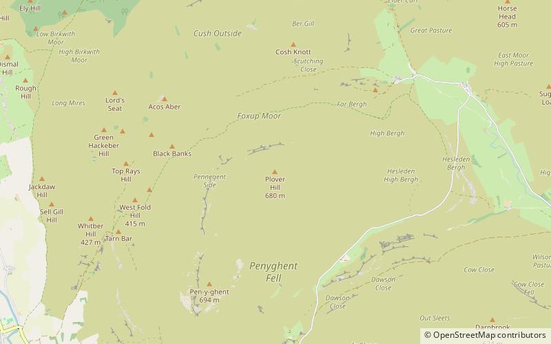
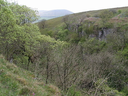
Plover Hill is an area of moorland lying to the north of Pen-y-ghent in the Yorkshire Dales and connected to it by an unbroken area of high ground. Whilst the whole area is now "open access land", the main right-of-way footpaths come directly from the north off Foxup Road and directly from the south from the summit of Pen-y-ghent. ()
Elevation: 2231 ftProminence: 194 ftCoordinates: 54°10'21"N, 2°13'57"W
Address
Yorkshire Dales National Park
ContactAdd
Social media
Add
Day trips
Plover Hill – popular in the area (distance from the attraction)
Nearby attractions include: Pen-y-ghent, St Peter's Church, Alum Pot, Fountains Fell Tarn.


