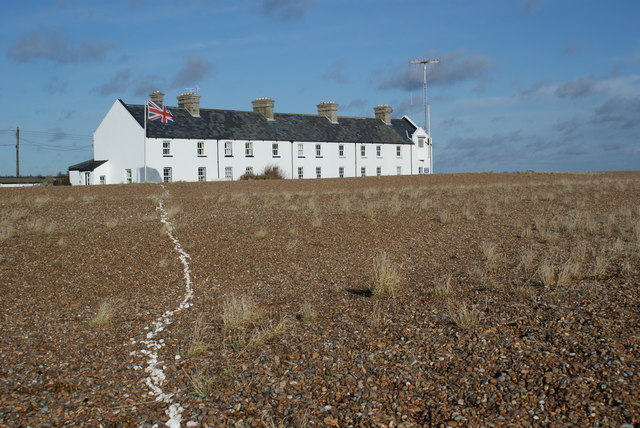
Shingle Street, Woodbridge
Map

Gallery

Facts and practical information
Shingle Street is a coastal settlement on the North Sea coast of the English county of Suffolk. It is 8 miles north-east of Felixstowe and 12 miles east of Ipswich at the mouth of the River Ore and opposite the tip of Orford Ness. It is within the parish of Hollesley with HM Young Offender Institution Hollesley Bay Colony nearby. A report from October 2004 suggests that Shingle Street is at risk from coastal erosion and flooding and could disappear within 20 years if sea defences are not erected. ()
Coordinates: 52°1'55"N, 1°27'0"E
Address
Woodbridge
ContactAdd
Social media
Add
Day trips
Shingle Street – popular in the area (distance from the attraction)
Nearby attractions include: Felixstowe Ferry Golf Club, Orford Castle, Woodbridge Tide Mill, Sutton Hoo Helmet.


