Ullswater Way

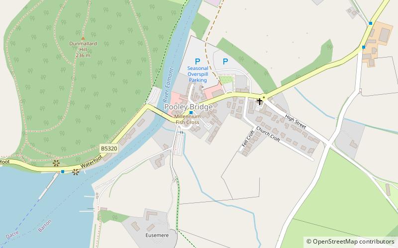
Map
Facts and practical information
The Ullswater Way is a 20-mile waymarked walking route around Ullswater in the English Lake District. It was created by a partnership which included The Lake District National Park Authority, the National Trust, Eden District Council, and Ullswater 'Steamers' and was opened on 25 April 2016 by broadcaster and film-maker Eric Robson. The idea of a path circumnavigating the lake had been considered for many years, but the 2015 Cumbria floods which devastated the area gave an incentive for the completion of the project. ()
Coordinates: 54°36'43"N, 2°49'14"W
Location
England
ContactAdd
Social media
Add
Day trips
Ullswater Way – popular in the area (distance from the attraction)
Nearby attractions include: Ullswater, St Peter's Church, Lowther Castle, Dalemain.


