Arthur's Pike

Gallery (3)
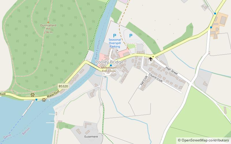
Map
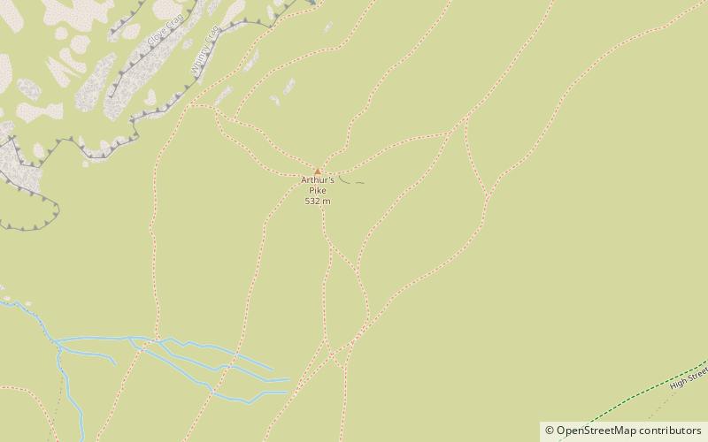
Map
Gallery
Facts and practical information
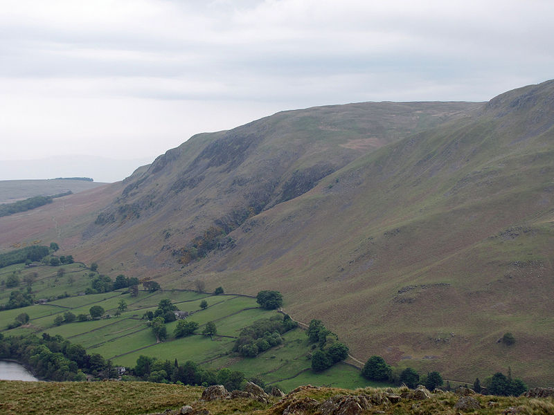
Arthur's Pike is a fell in the English Lake District, near Ullswater. It is a subsidiary top on the ridge falling north from Loadpot Hill in the Far Eastern Fells. An extensive craggy face stands above the lower reach of Ullswater. ()
Elevation: 1749 ftCoordinates: 54°34'40"N, 2°50'6"W
Location
England
ContactAdd
Social media
Add
Day trips