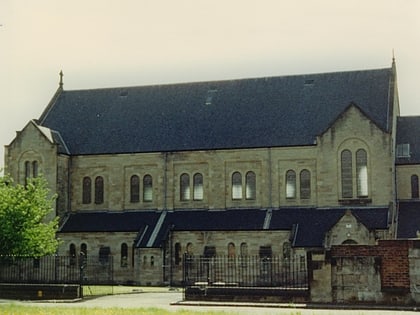
Gallowhill, Paisley
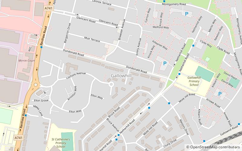
Map
Facts and practical information
Gallowhill is a housing estate in the north east of Paisley, a town in Renfrewshire, Scotland. Its approximate boundaries are formed by the M8 motorway to the north, the A741 Renfrew Rd to the west, to the south the Inverclyde railway line with Arkleston Farm making up the estate's eastern border. The most common types of housing are cottage flats and two storey tenements, although there are some three storey units and terraced housing in addition to two tower blocks. ()
Coordinates: 55°51'24"N, 4°24'34"W
Address
Paisley
ContactAdd
Social media
Add
Day trips
Gallowhill – popular in the area (distance from the attraction)
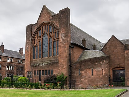
Nearby attractions include: Paisley Abbey, Paisley Town Hall, Coats Observatory, Thomas Coats Memorial Baptist Church.
Frequently Asked Questions (FAQ)
Which popular attractions are close to Gallowhill?
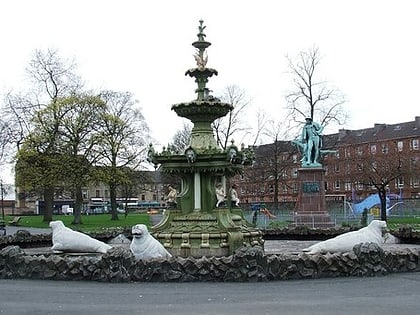
Nearby attractions include St Mirin's Cathedral, Paisley (18 min walk), Fountain Gardens, Paisley (22 min walk), Barshaw Park, Paisley (22 min walk), Paisley Abbey, Paisley (24 min walk).
How to get to Gallowhill by public transport?
The nearest stations to Gallowhill:
Bus
Train
Bus
- Paisley, Reid Kerr College Annexe • Lines: 101 (10 min walk)
- Reid Kerr Colleage • Lines: 101 (12 min walk)
Train
- Barshaw Central (19 min walk)
- Paisley Gilmour Street (23 min walk)


