Barshaw Park, Paisley
Map
Gallery
Facts and practical information
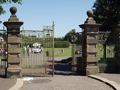
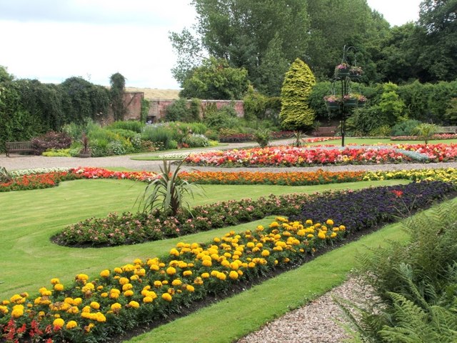
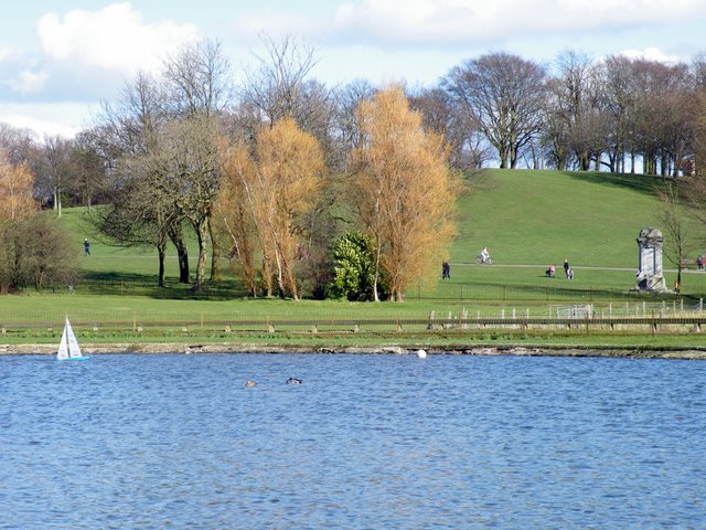
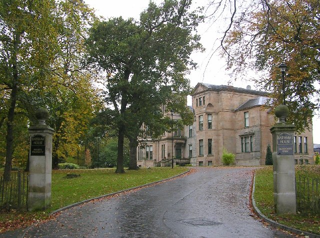
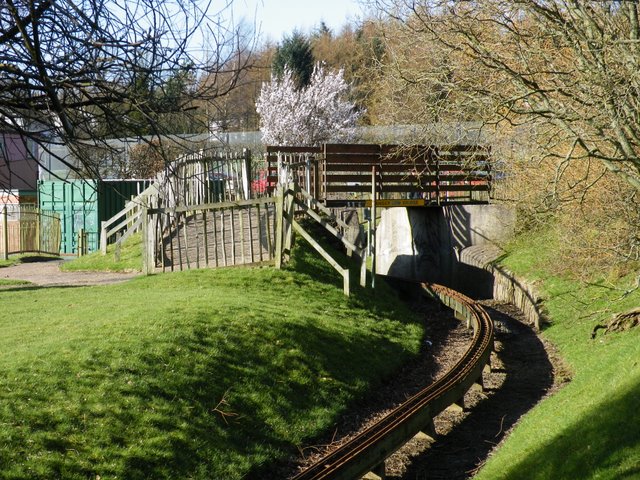
Barshaw Park is public park in Paisley, Scotland. It has 55 acres of recreational parkland and garden areas which are open to the public. ()
Elevation: 89 ft a.s.l.Coordinates: 55°50'52"N, 4°23'38"W
Address
165 Glasgow RdPaisley PA1 3TJ
ContactAdd
Social media
Add
Day trips
Barshaw Park – popular in the area (distance from the attraction)
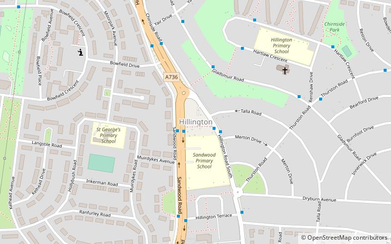
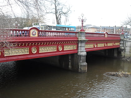
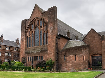
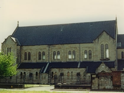
Nearby attractions include: Paisley Abbey, Paisley Town Hall, Hillington, Abbey Bridge.
Frequently Asked Questions (FAQ)
Which popular attractions are close to Barshaw Park?
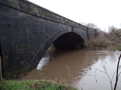
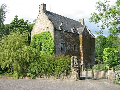
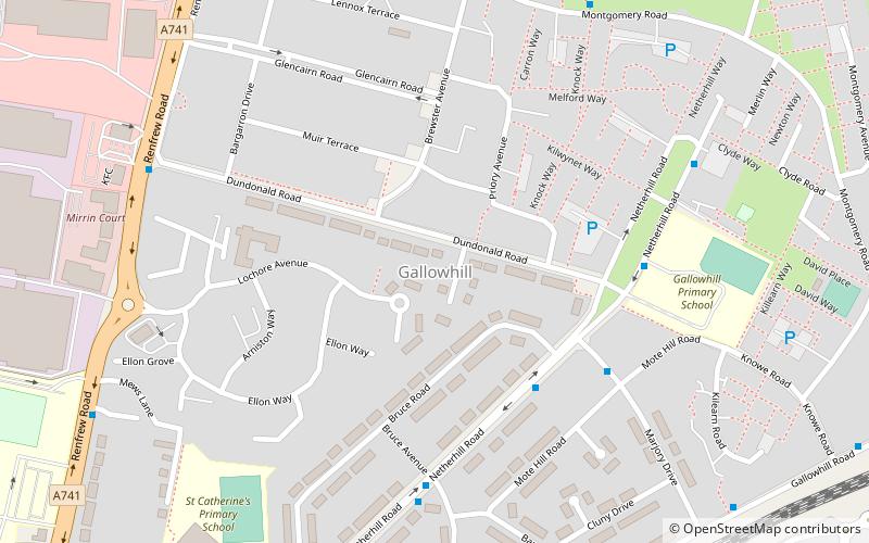
Nearby attractions include River Cart Aqueduct, Paisley (19 min walk), Gallowhill, Paisley (22 min walk), St Mirin's Cathedral, Paisley (23 min walk).
How to get to Barshaw Park by public transport?
The nearest stations to Barshaw Park:
Bus
Train
Bus
- Barshaw Park Middle • Lines: 38 (3 min walk)
- Alton Road • Lines: 38, 38A (5 min walk)
Train
- Barshaw Central (4 min walk)
- Hawkhead (12 min walk)
