Via Gellia, Peak District
Map

Map

Facts and practical information
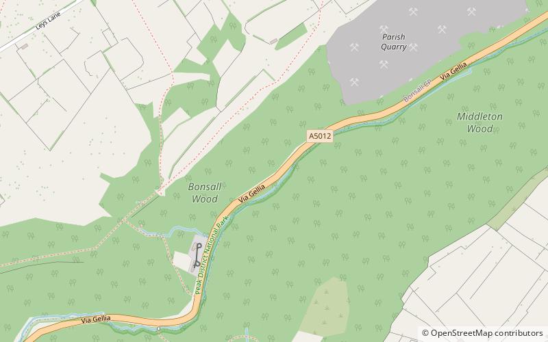
Via Gellia is a steep-sided wooded dry valley and road in Derbyshire. ()
Coordinates: 53°6'32"N, 1°35'46"W
Address
Peak District
ContactAdd
Social media
Add
Day trips
Via Gellia – popular in the area (distance from the attraction)
Nearby attractions include: Gulliver's Kingdom, Cromford Mill, Masson Mill, Great Masson Cavern.
Frequently Asked Questions (FAQ)
How to get to Via Gellia by public transport?
The nearest stations to Via Gellia:
Bus
Train
Bus
- New Road • Lines: 6.1, Little Sixes (13 min walk)
- The Green • Lines: 6.1, Little Sixes (19 min walk)
Train
- Recreation Ground Halt (32 min walk)
- Steeple Grange (36 min walk)


